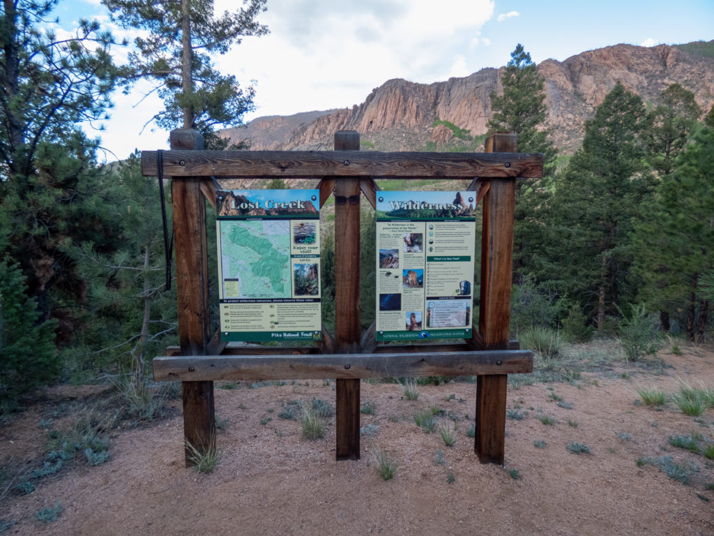
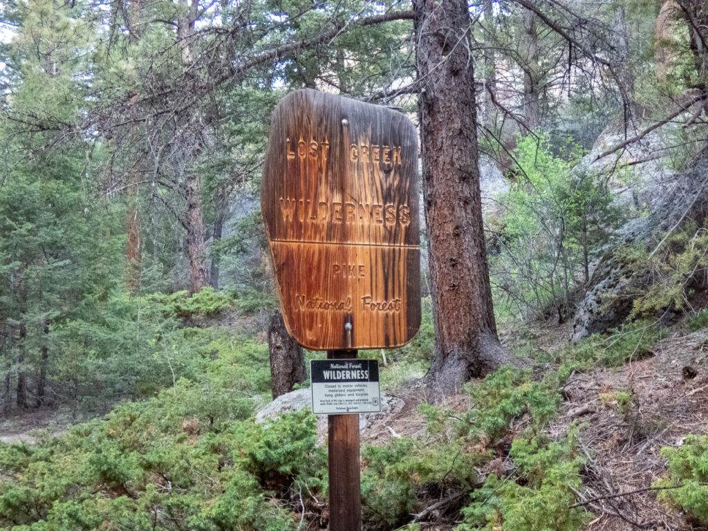
Life had been focused on a major remodel project at the house since my Quandary outing. My motivation hasn’t been the best the past few months either. The need to get outside and explore started to get the best of me despite my lack of conditioning the past month or so. I decided to revisit backpacking Lost Creek Wilderness.
Lost Creek Wilderness is a pretty area and isn’t as crazy challenging, in my view, as places like the Sawatch Range or Gore Mountains. It’s also a relatively short drive from home. A simple loop would give me an assessment of my backpacking readiness and allow me to go through a beautiful part of our state.
The plan
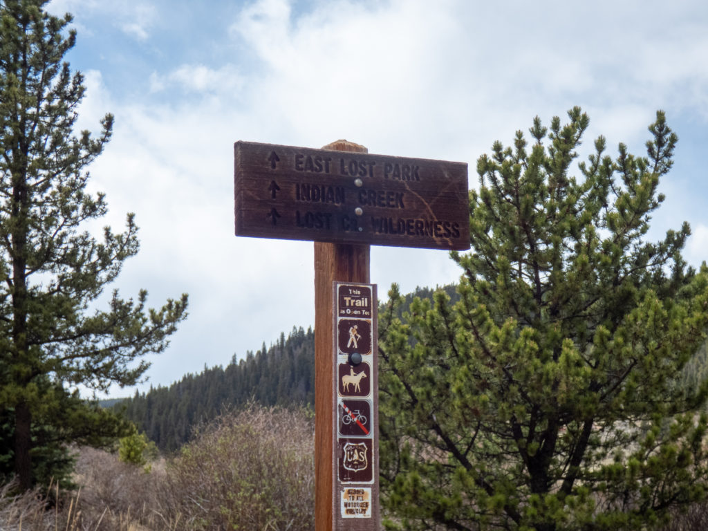
The last loop I did in Lost Creek started at the Goose Creek trailhead. It was a wonderful route and I really enjoyed it. The northern section of Lost Creek was all unexplored by me. The Lost Park trailhead makes the most sense since you can head directly up to Bison Peak. Those routes were a little less mileage than I wanted. Instead, I planned to leave Wigwam Creek trailhead, loop around Bison Peak and come through the Refrigerator Gulch area, hooking up with Goose Creek back to Wigwam. The route in GAIA GPS said it’d be about 34.6 miles and 7,600 feet of elevation change. This seemed like a good 3-day route given my conditioning, although self-doubt made me pack food for 4 days.
As a slight tangent, my pack came in at 36 pounds with 2 liters of water and 4 days/3 nights worth of food. It seems as if my pack weight has been growing. For this hike I didn’t mind since I wanted to see what my body would handle. It is something that I will be addressing before my next outing…especially given how I felt when I was done with the trip! 🙂
Backpacking Lost Creek Wilderness – Day 1
The drive to the trailhead was uneventful since I got an early start. Just as I was turning on FR545 to get to the trailhead, a very large rabbit ran out from under some bushes. It must have been a jackrabbit since it was way too big to be a typical rabbit. It’s something I couldn’t recall seeing before and, of course, was too fast for me to get a picture. Anyone know what kind of rabbit it might have been?
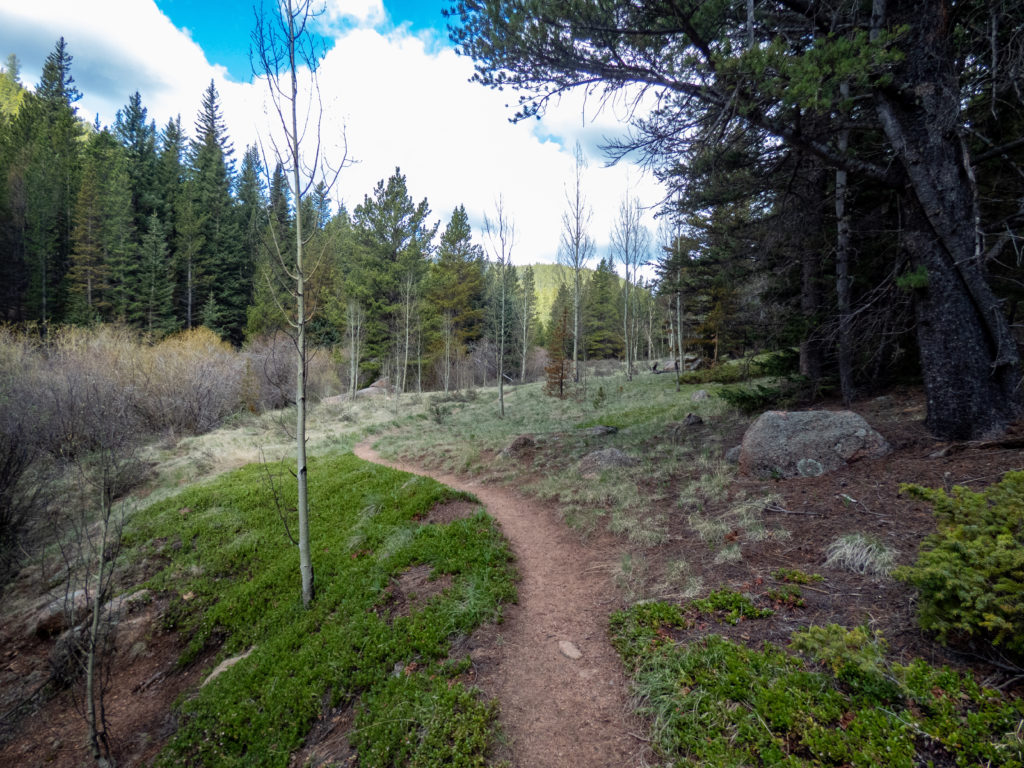
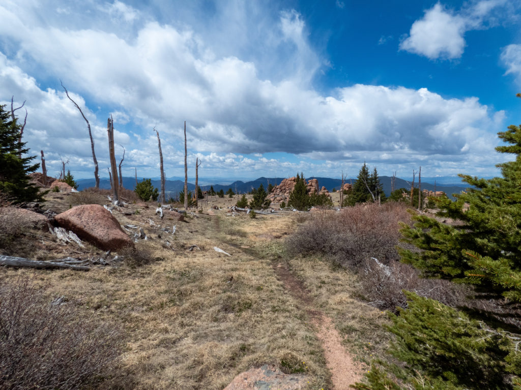
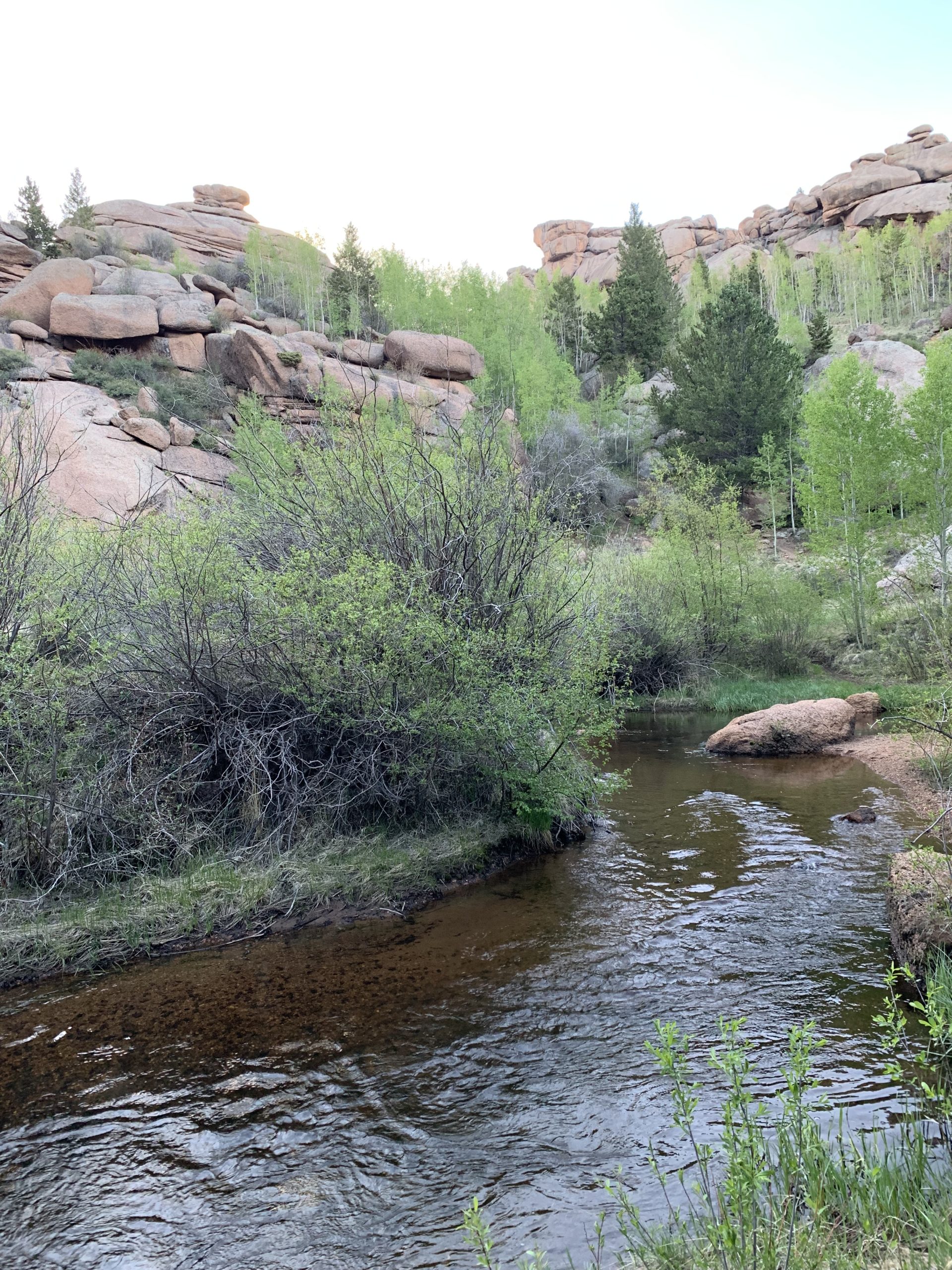
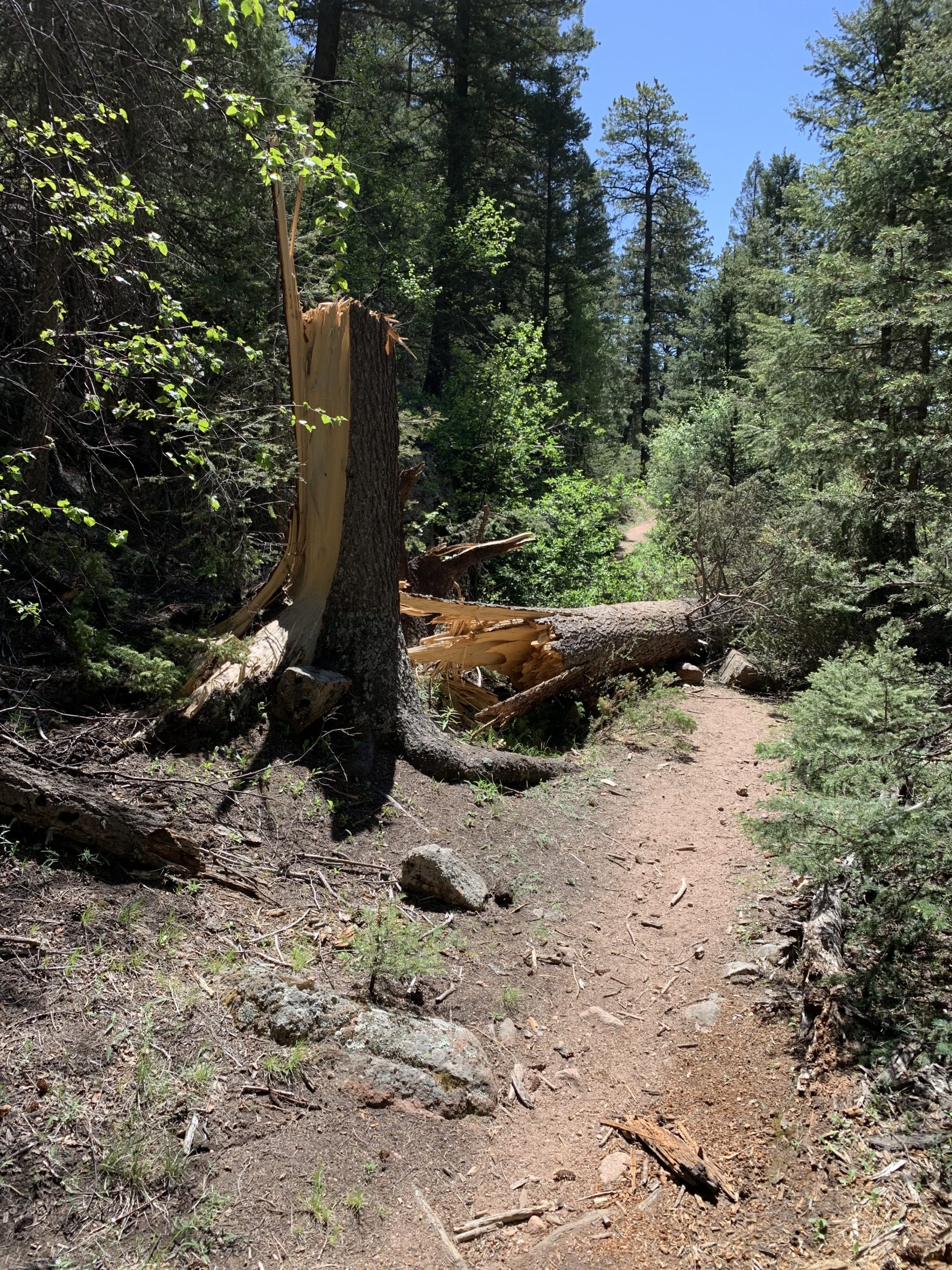
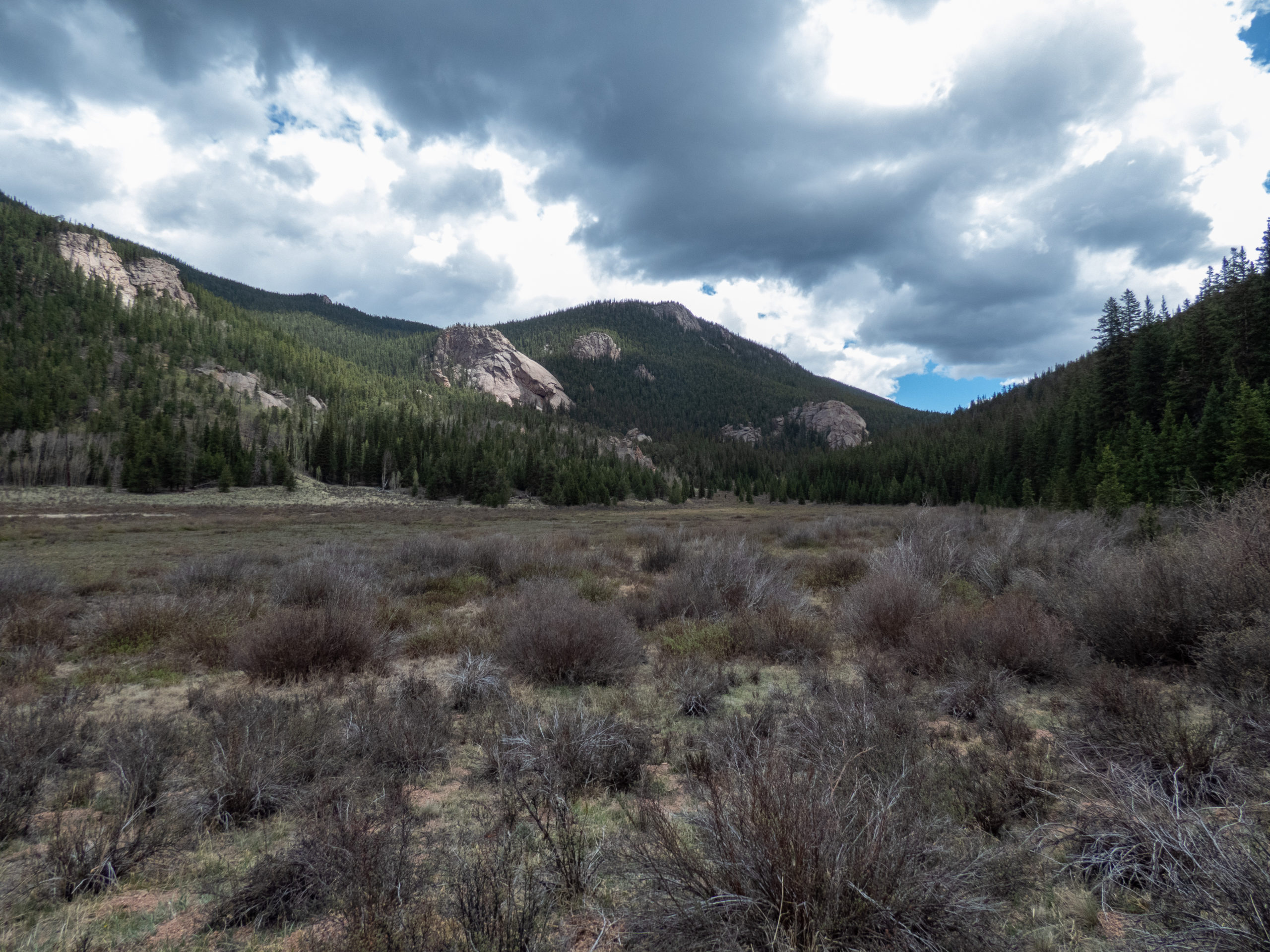
By 7:20, I was on the trail and remembering why I love getting out into the forest! The temps were great and overall conditions were pretty ideal for hiking. The trail initially headed down into a little creek area and then was a steady climb for about 4 miles. At 2 miles in, there is a really nice camping spot. Many other camp spots are available along the creek and it seems to be a pretty popular area. The density of camping areas drops off after mile 2 with the occasional one here and there.
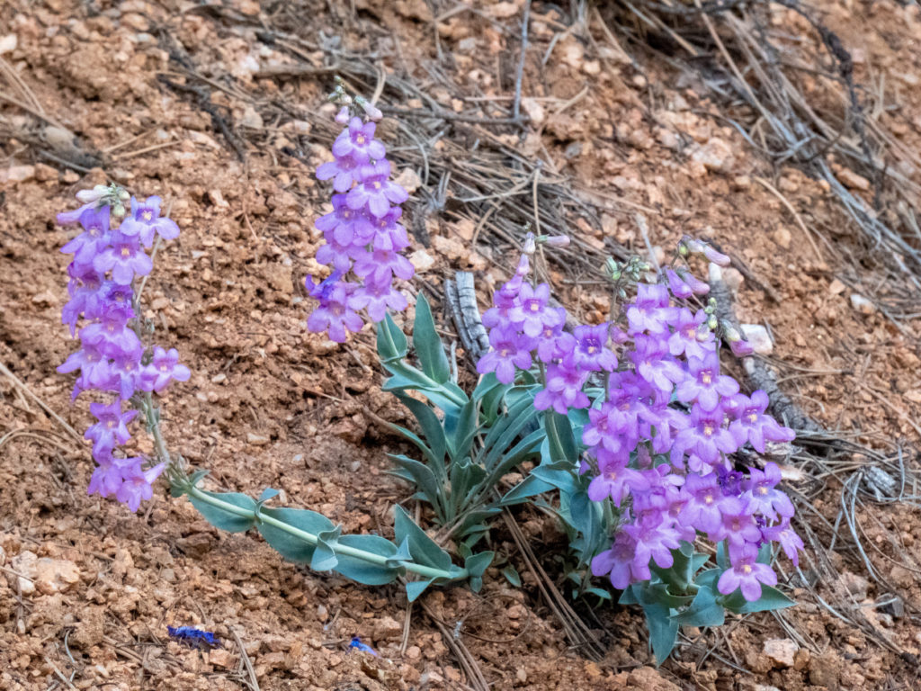
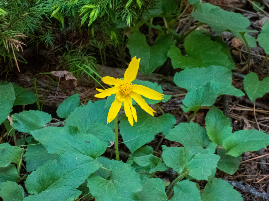
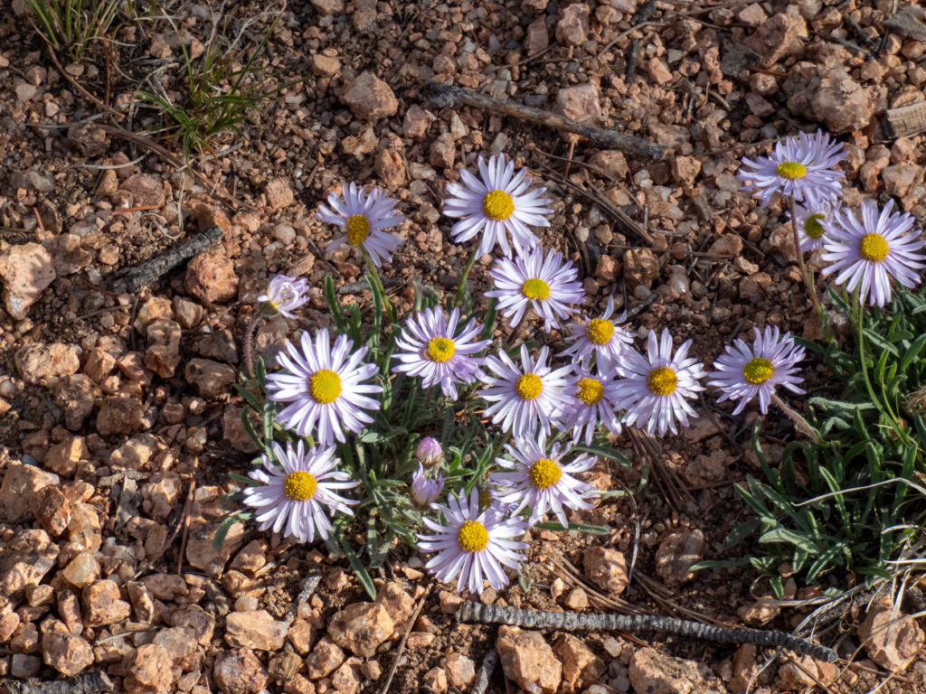
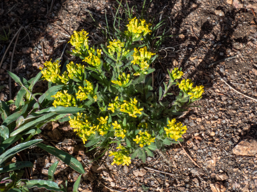
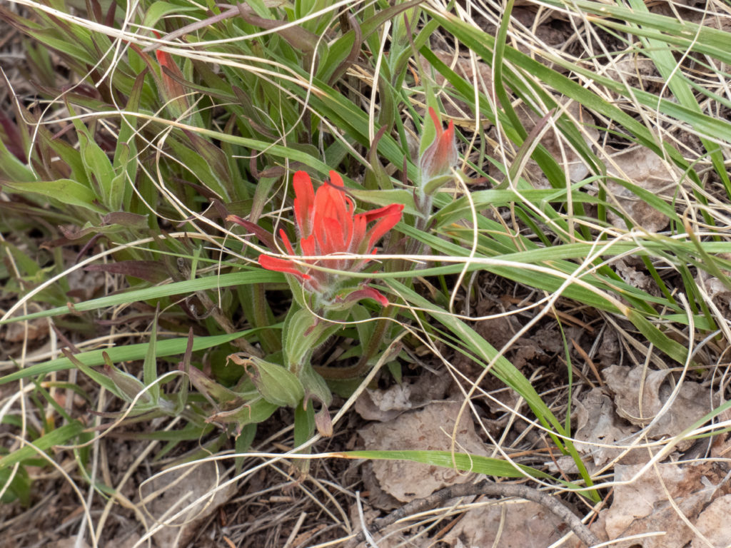
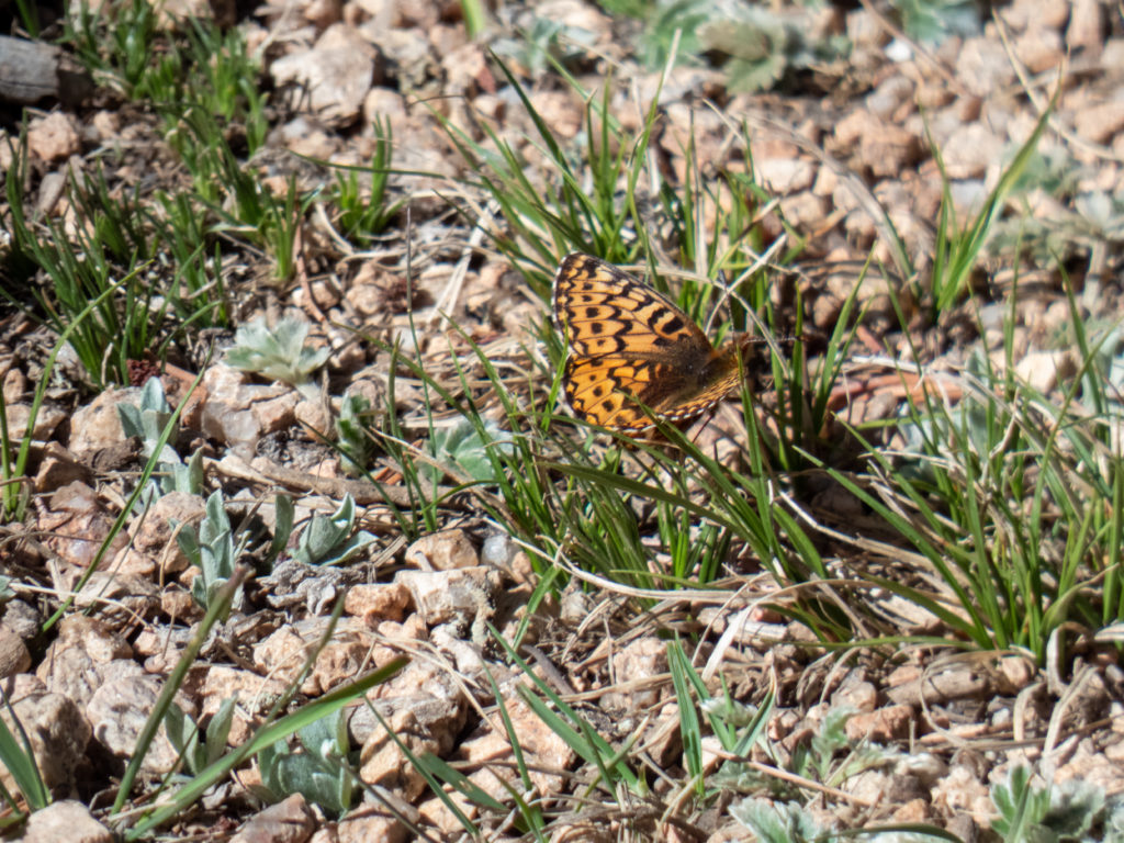
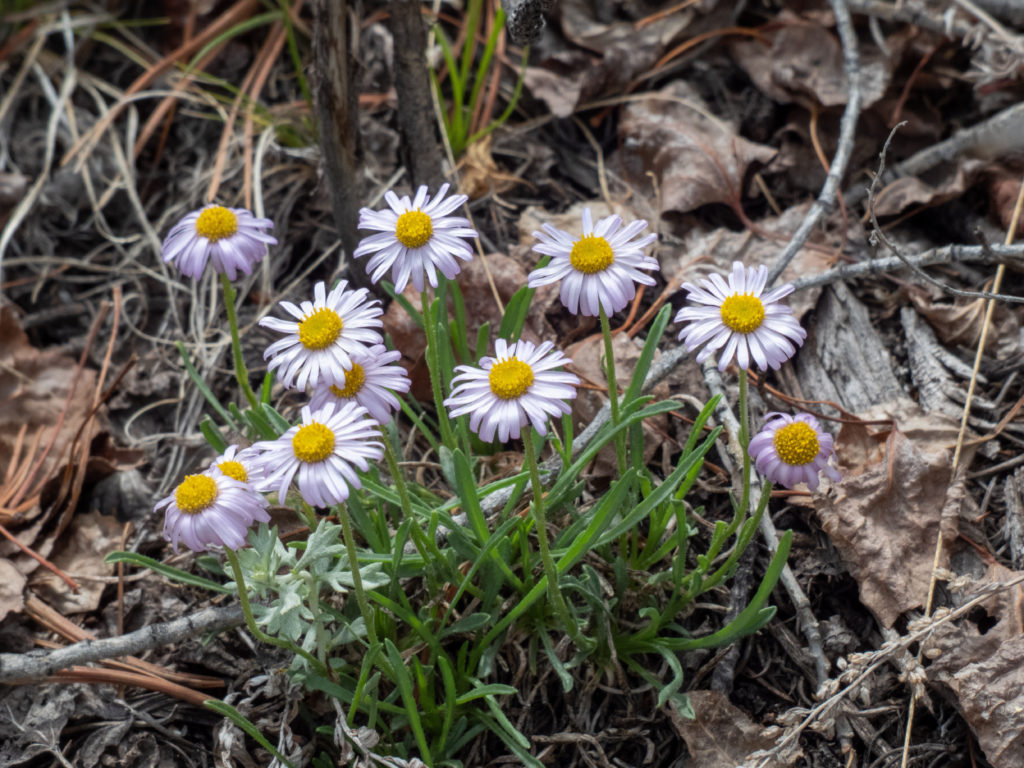
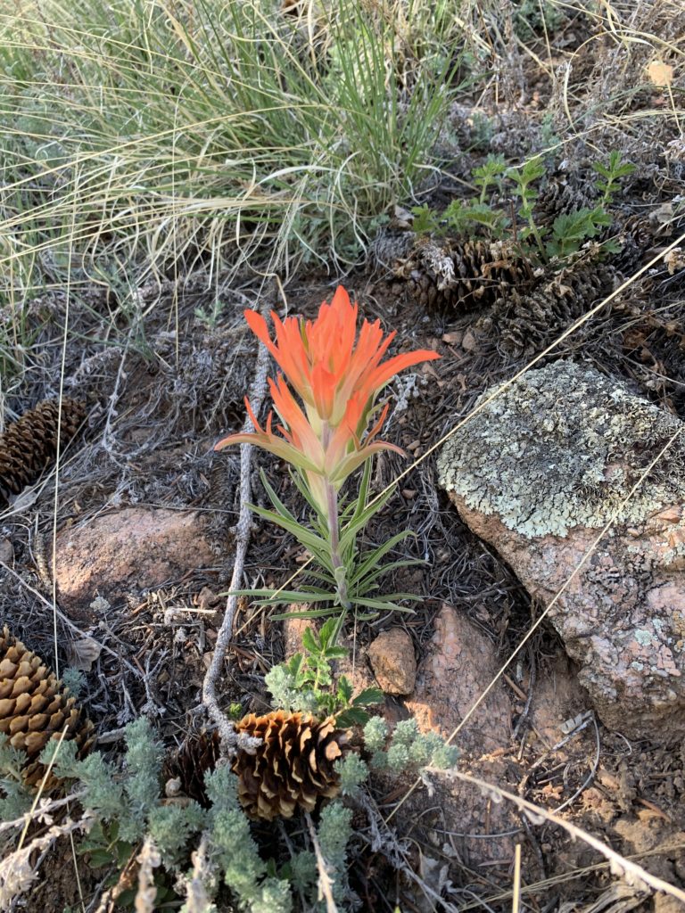
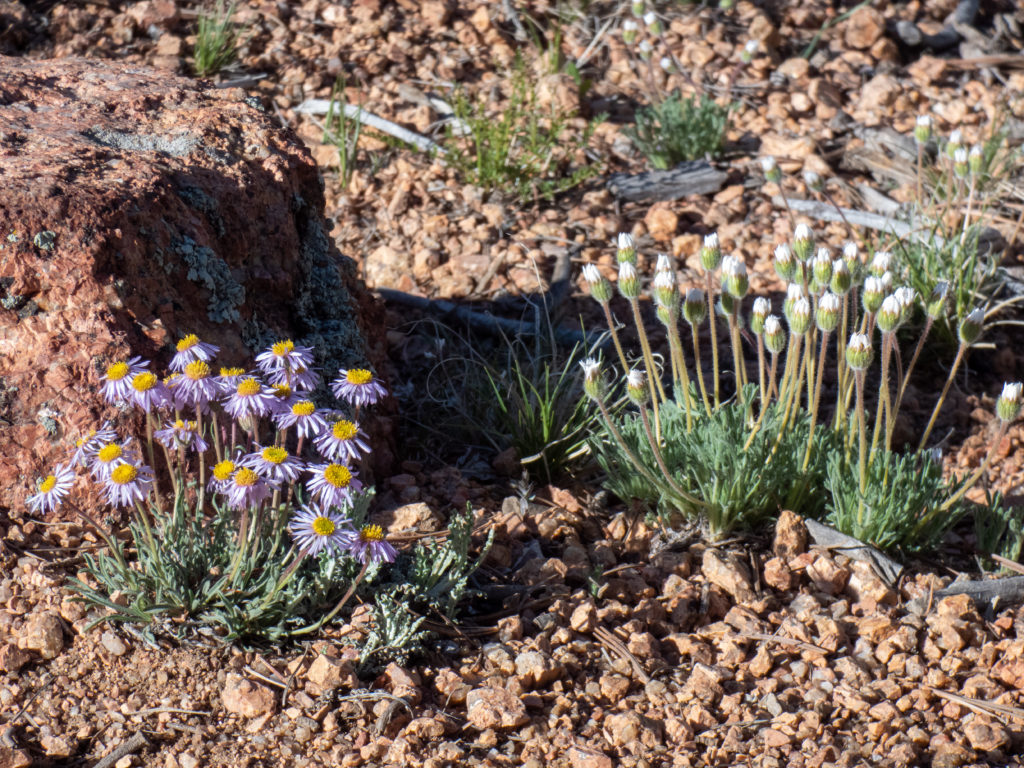
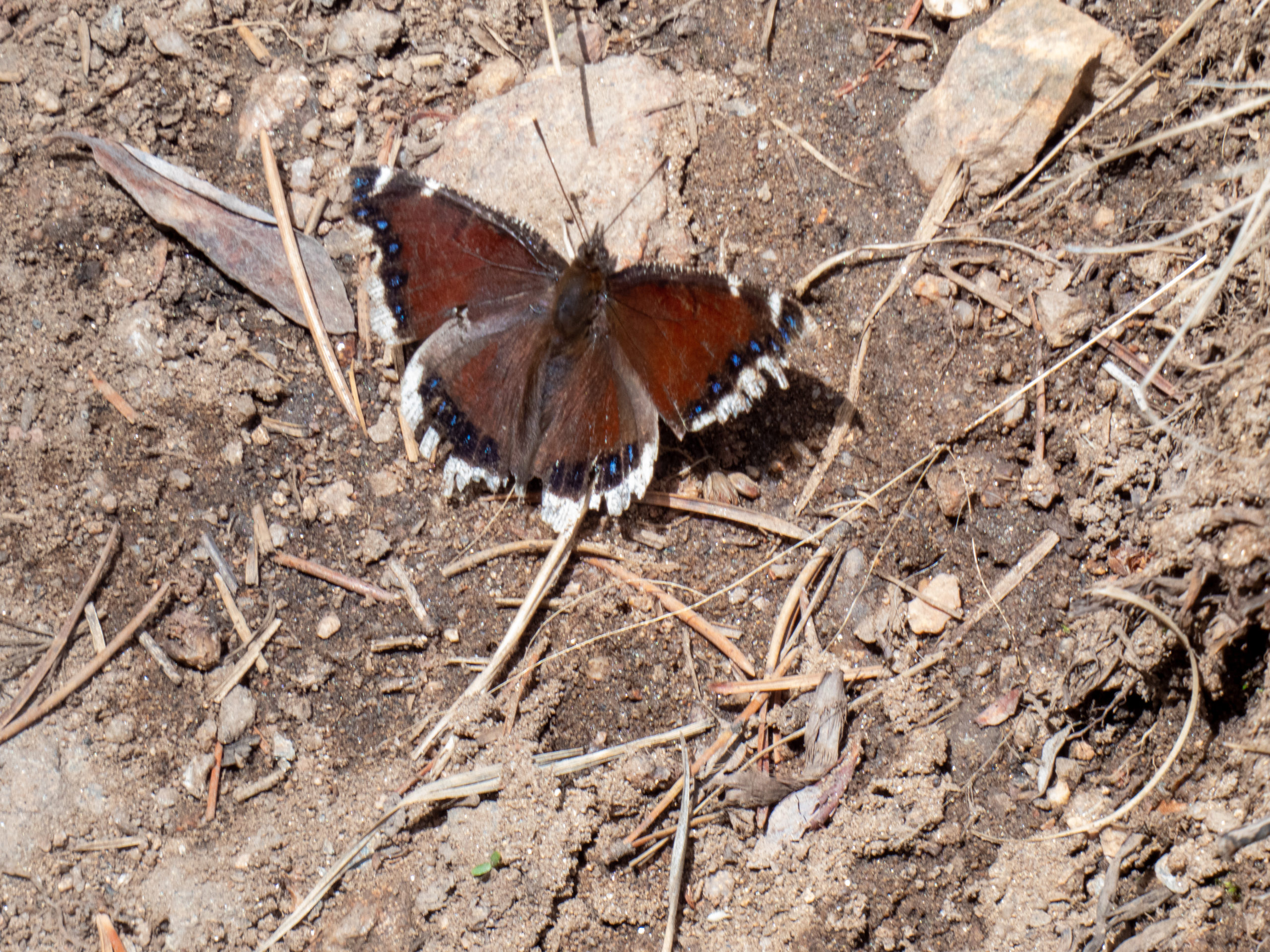
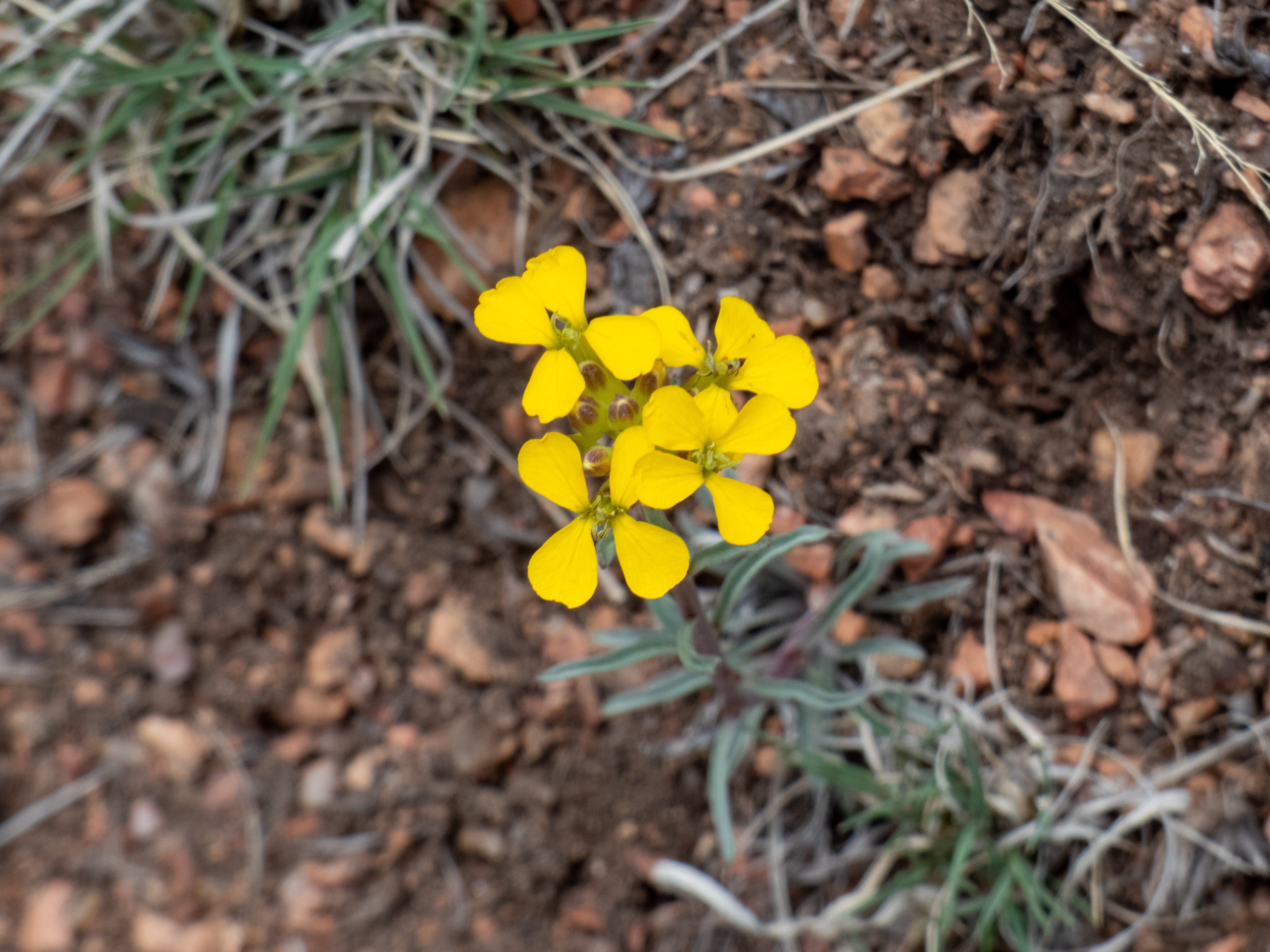
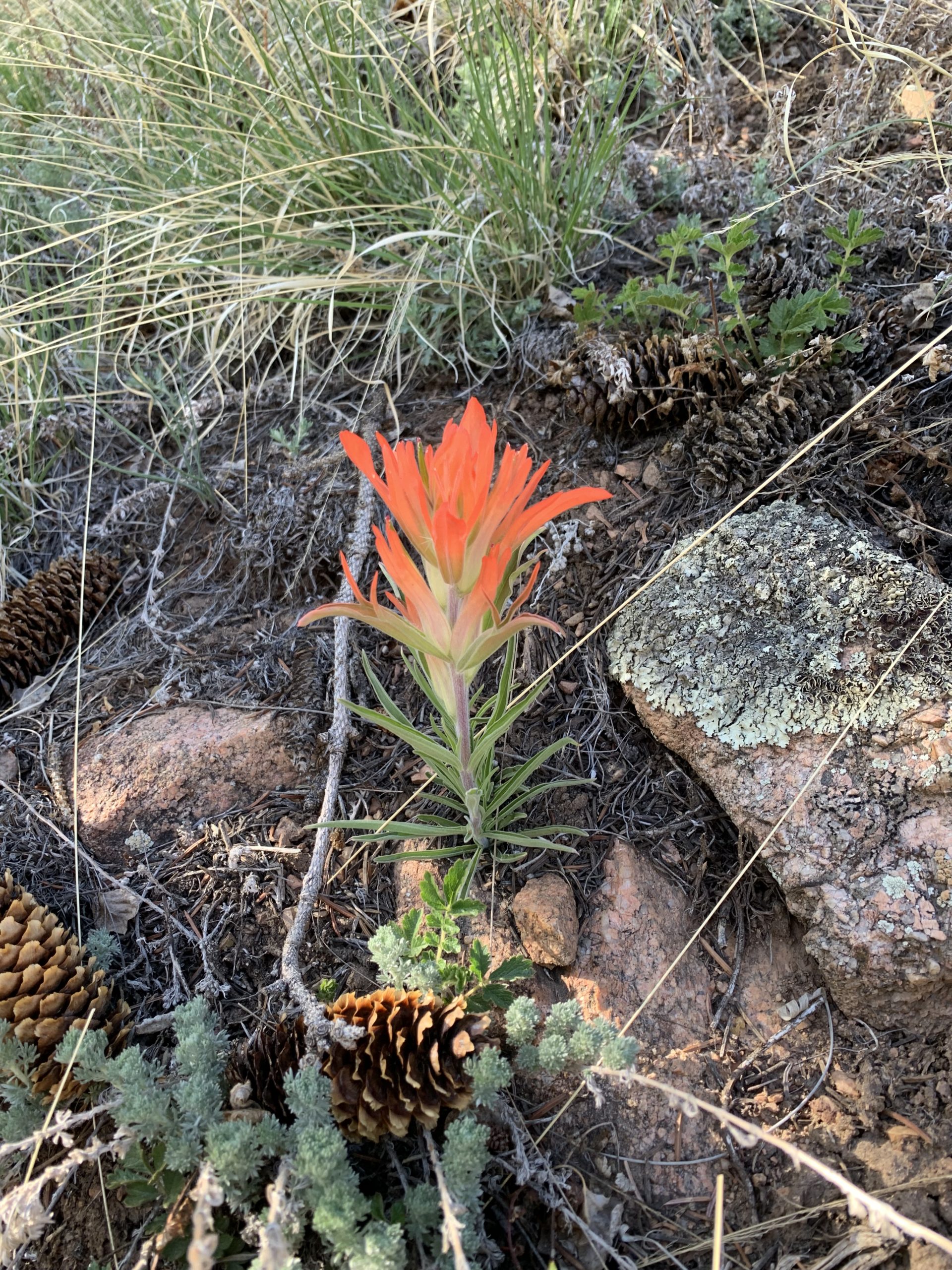
It was nice to see some flowers started to poke out. It’s still too early for the big wildflower season. Seeing these early players made be get excited to be out in late June and July!

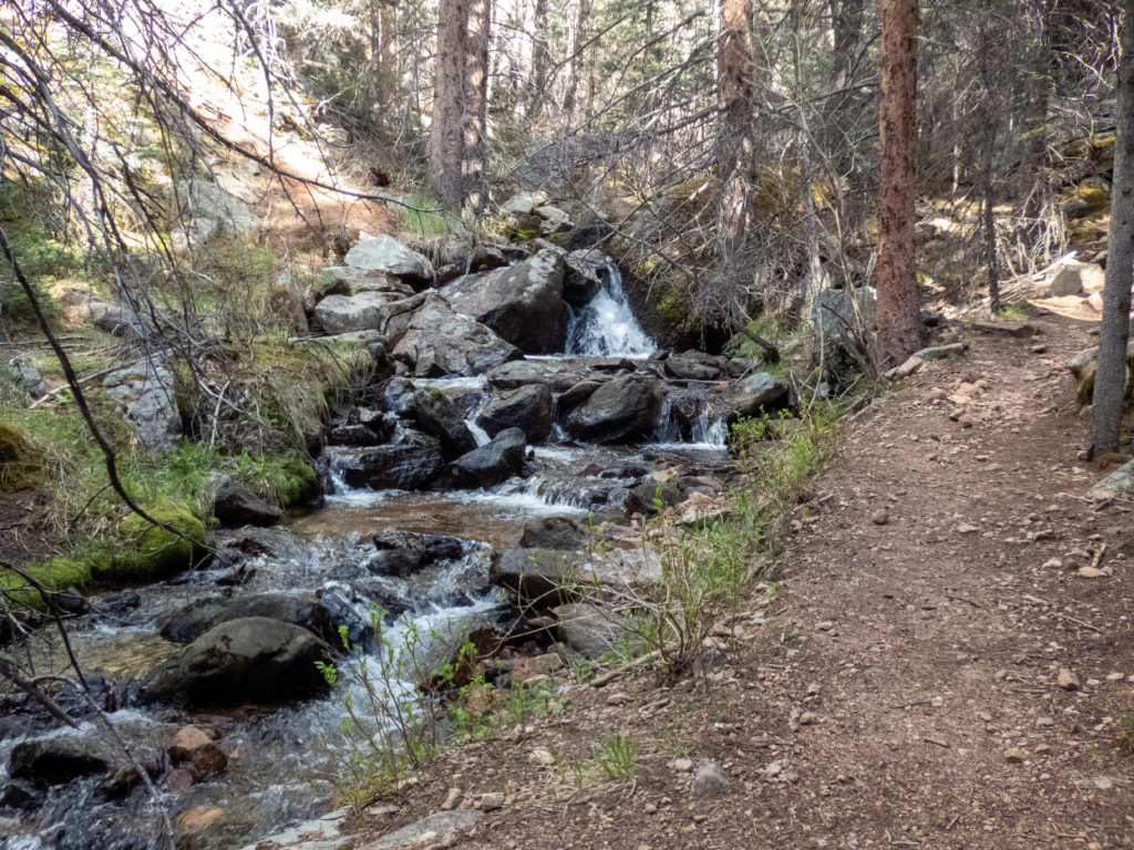


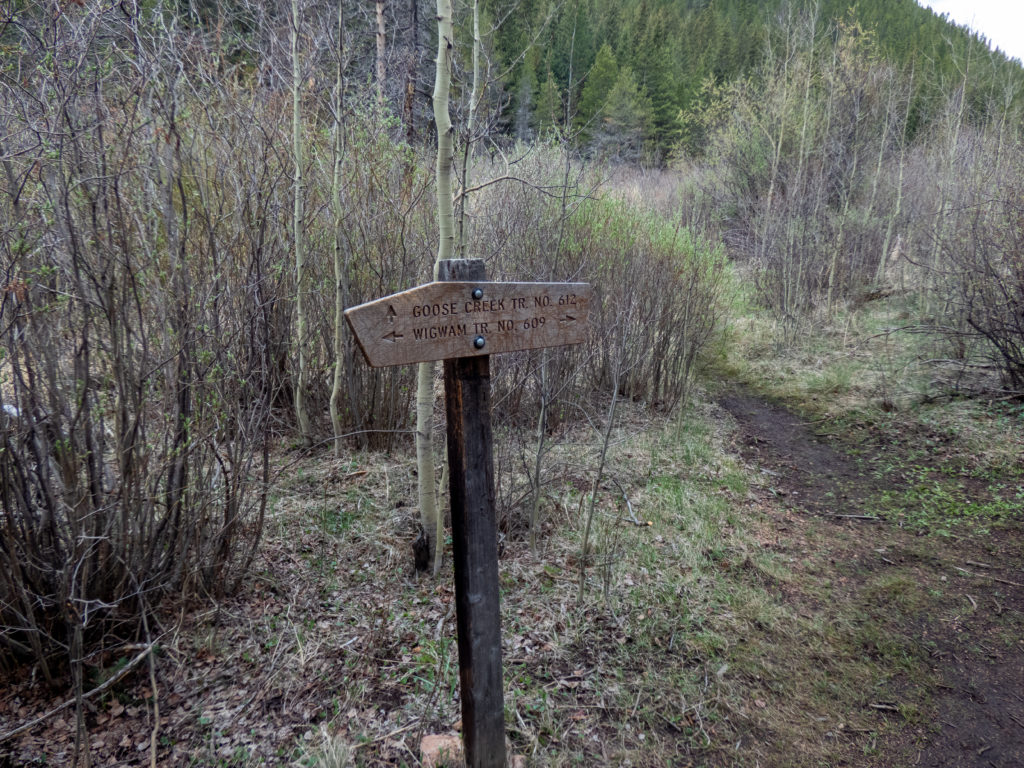
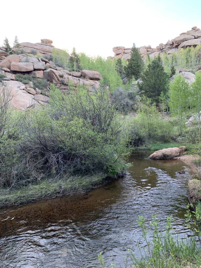
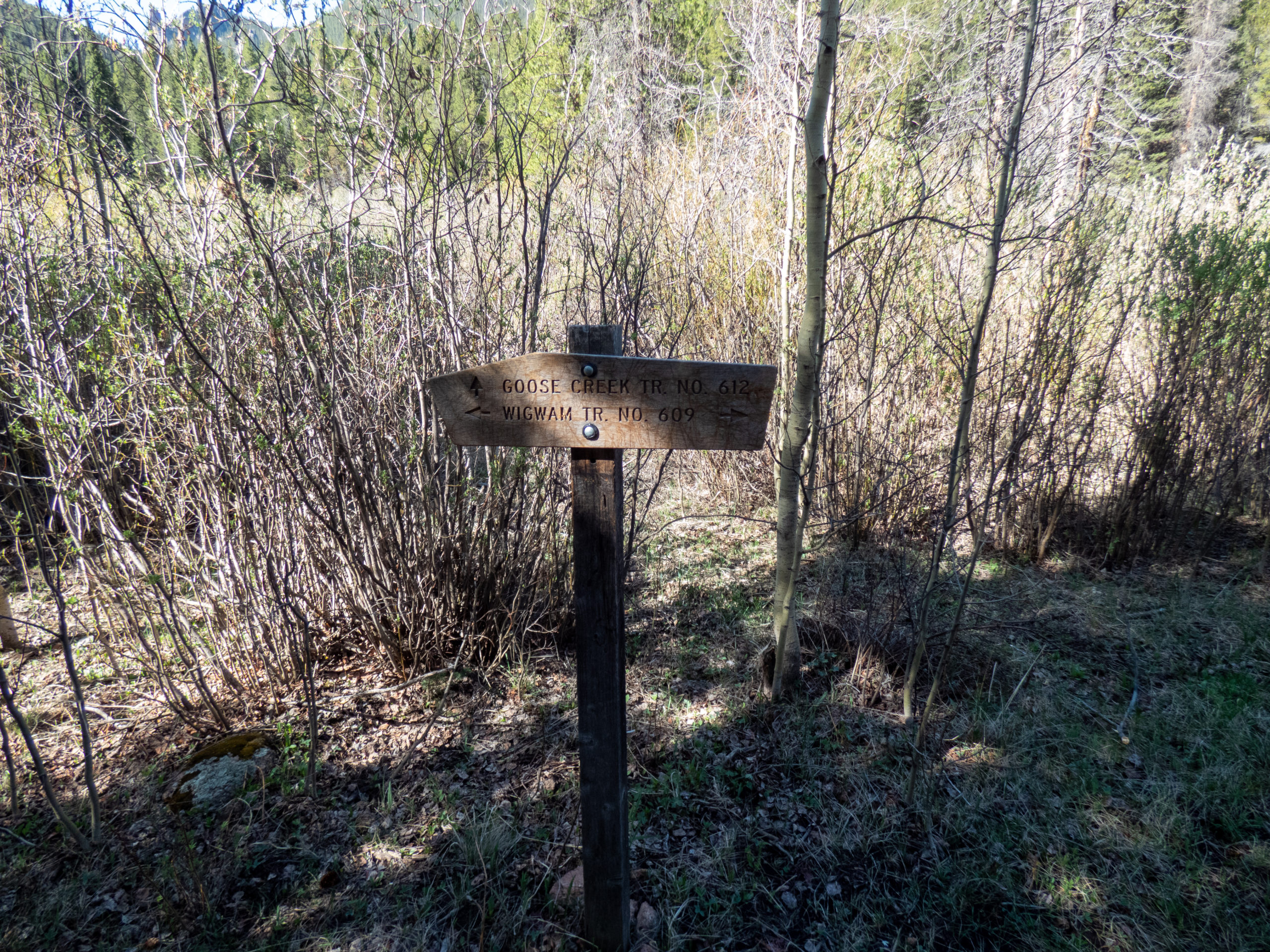
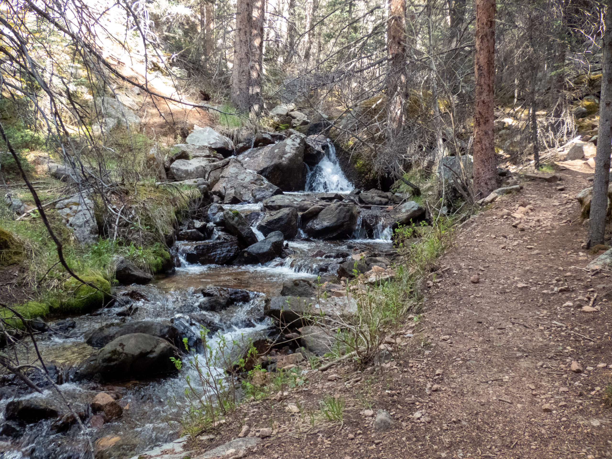
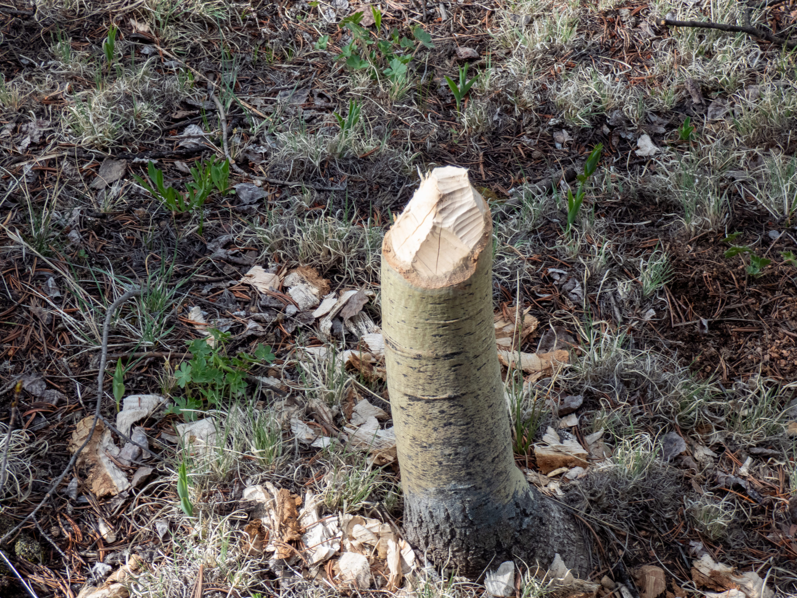
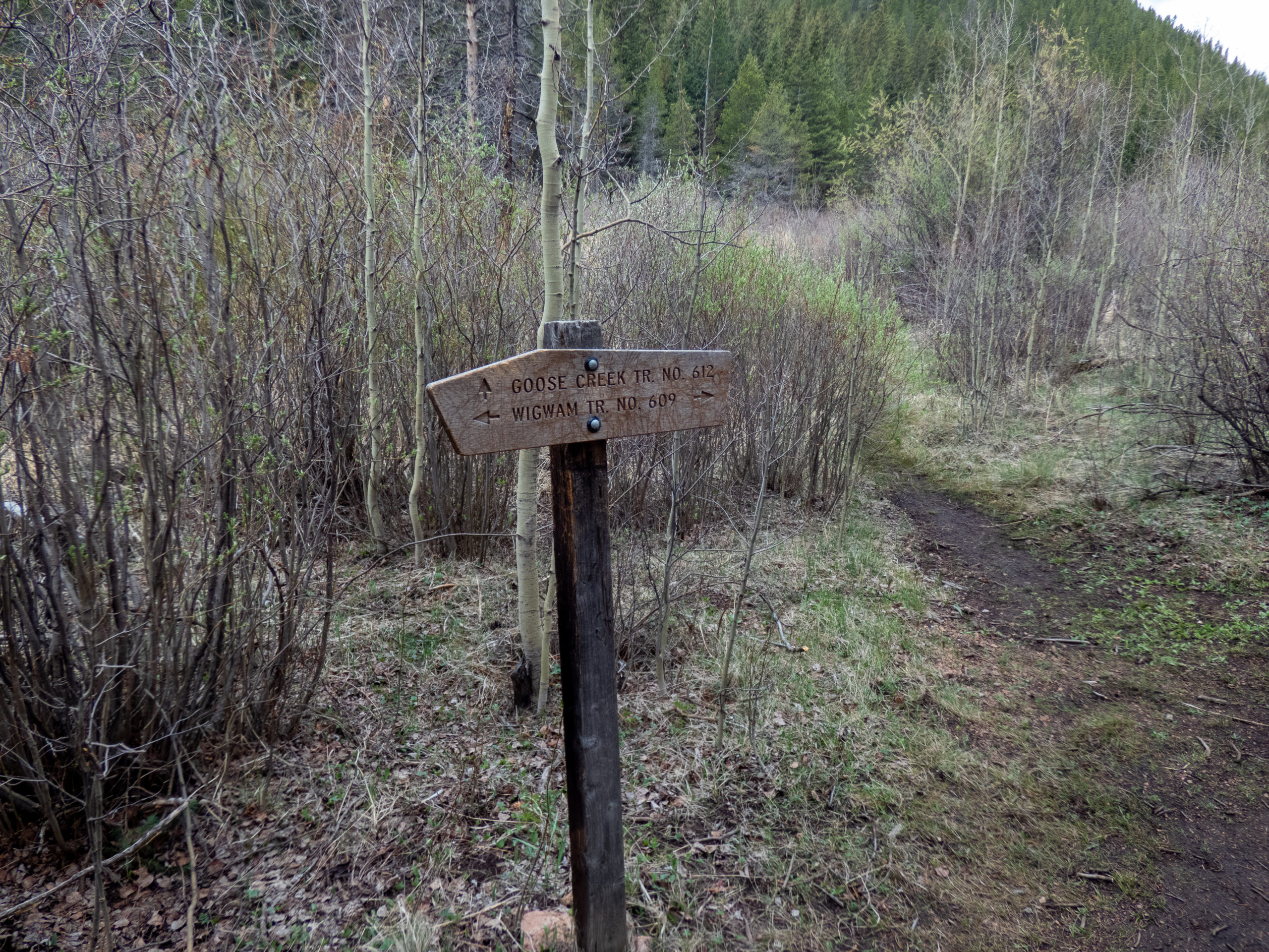
There is a broken beaver dam near the intersection of Wigwam and Goose Creek trails. I saw a few brook trout upstream of the dam and decided to see if I could catch a few. They were easily spooked and there wasn’t any cover…result, no fish on my line. 🙁
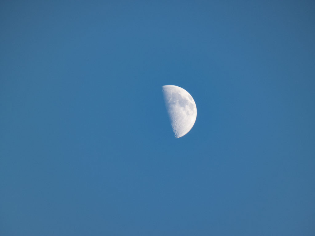
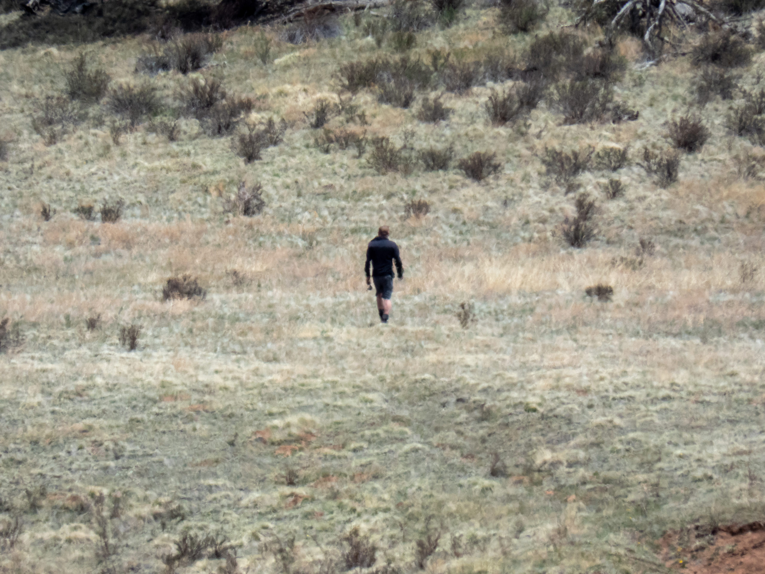
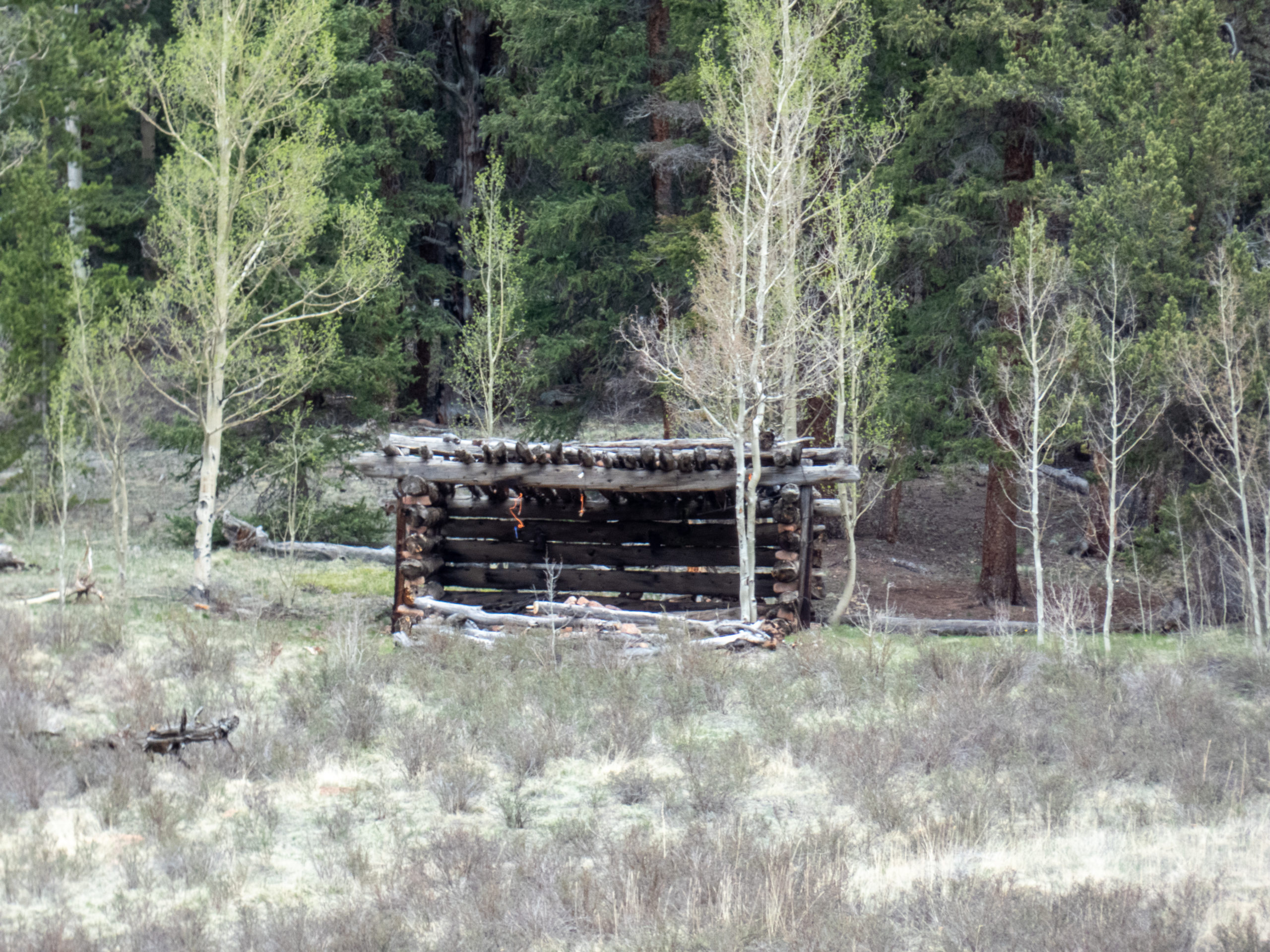
Once past this point, the trail is relatively flat all the way to the Lost Camp trailhead. Nothing too exciting happened along this portion other than a rain shower here and there. While having lunch I spotted Sasquatch on the other side of the meadow and snapped a shot. Some of you might think it looks like another hiker. I beg to differ, definitely Sasquatch.
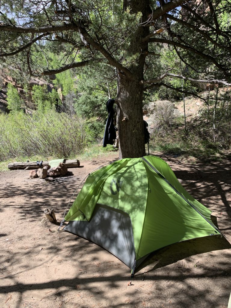
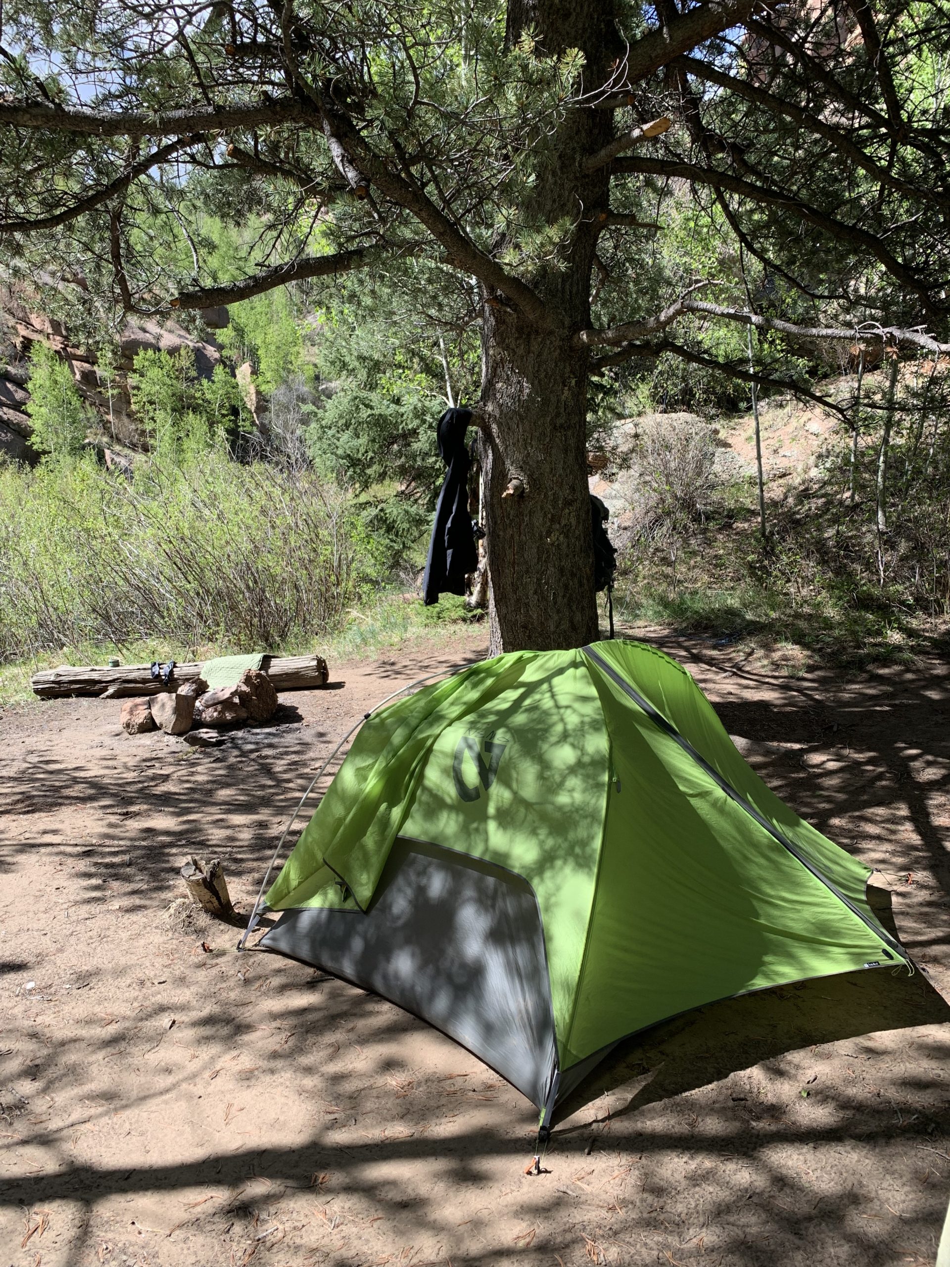
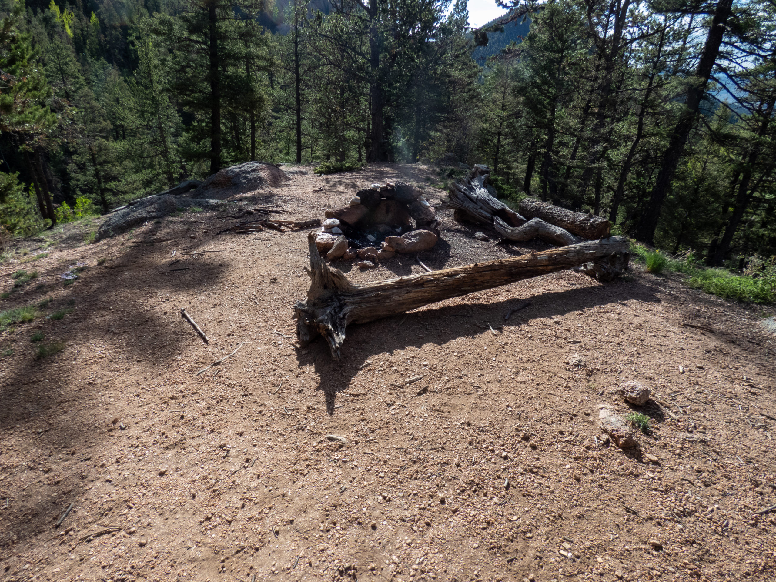
By 2:30, I had gone about 12.5 miles and decided to call it a day. Or more accurately, my legs were wiped. I found a great campsite and gladly offloaded my pack and set up camp. Shortly after that, several showers moved through. It was so relaxing to lay in the tent and hear the rain. Everything was right with the world.


Backpacking Lost Creek Wilderness – Day 2
The first night had been around 10,500′ and it had been a colder night, and I hadn’t slept that well. When I woke up, it was right around 30℉ which wasn’t too bad. For some reason it’d felt colder than that! After a quick breakfast of coffee, oatmeal with dried milk and blueberries, and I broke camp and headed out by 7:20.
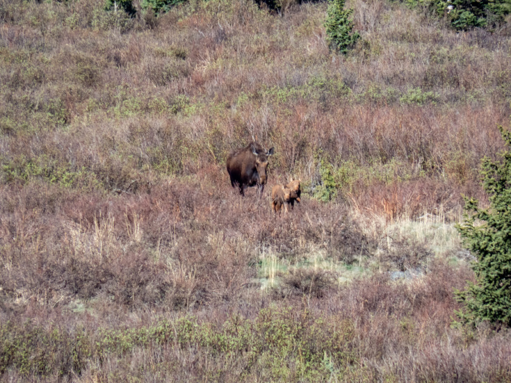
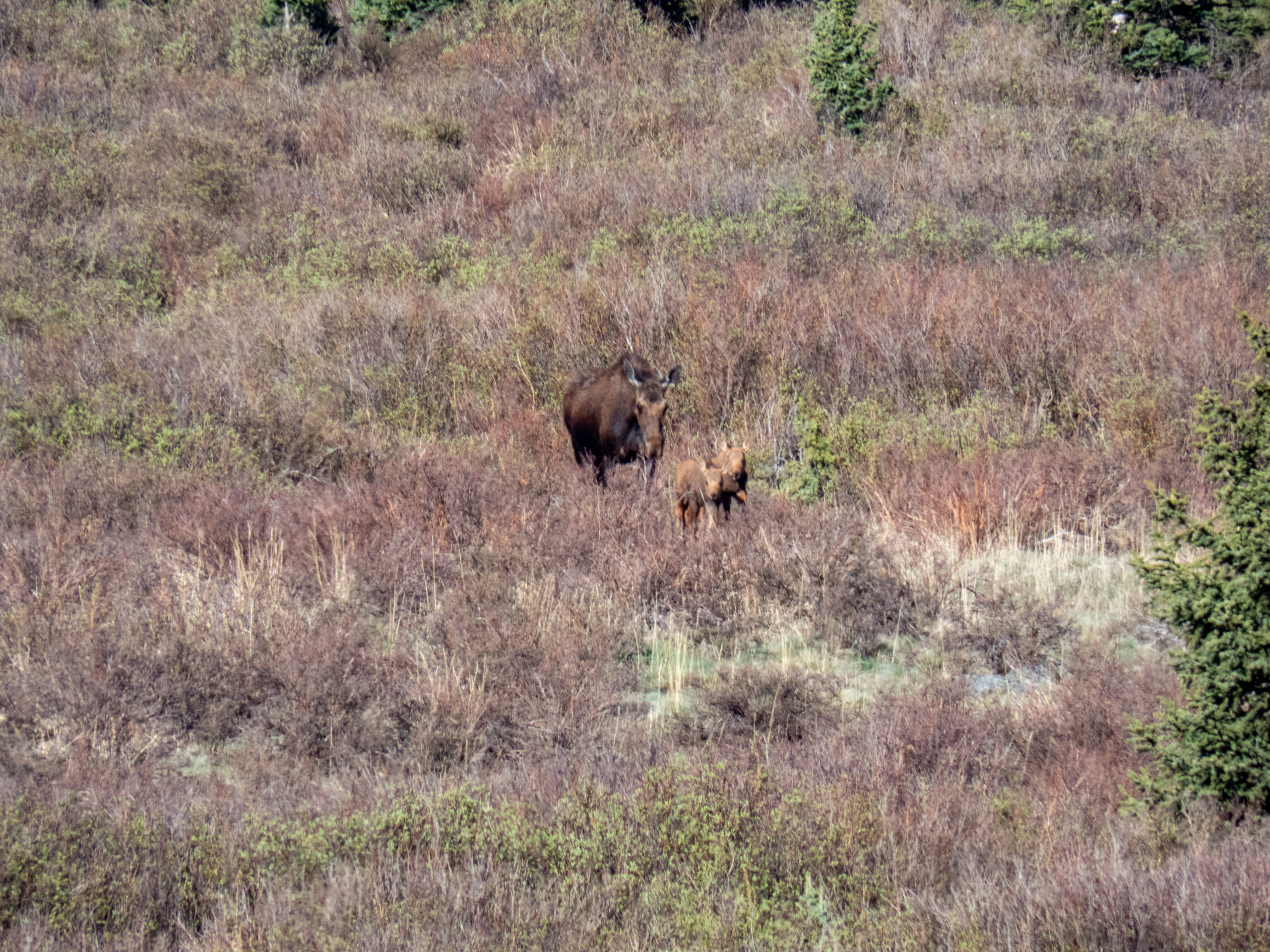
The initial part of the trail had a big meadow to my right. I spotted a moose quite a ways away and saw some other movement nearby suggesting calves. Luckily I wasn’t close enough to trigger any reaction and without my superzoom, probably would have missed the shot. The calves were so cute. It was a great chance encounter.
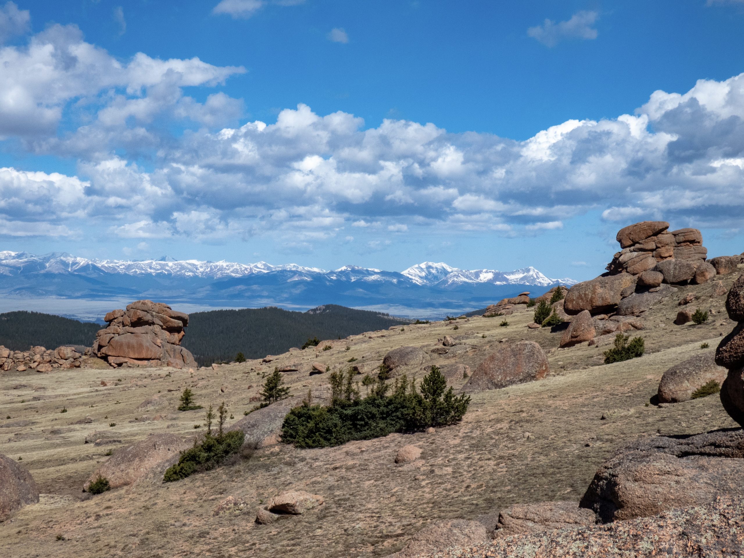
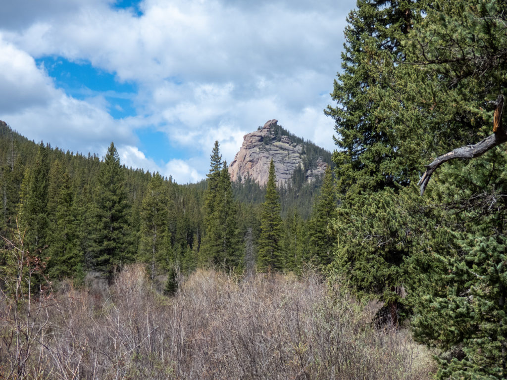
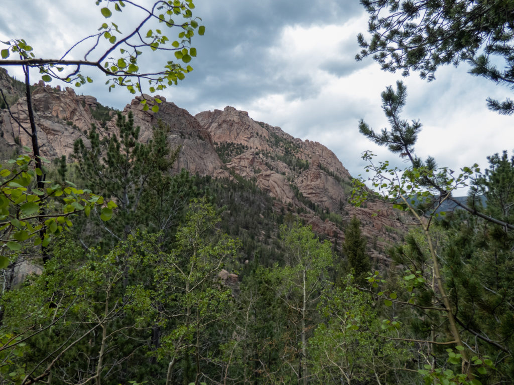
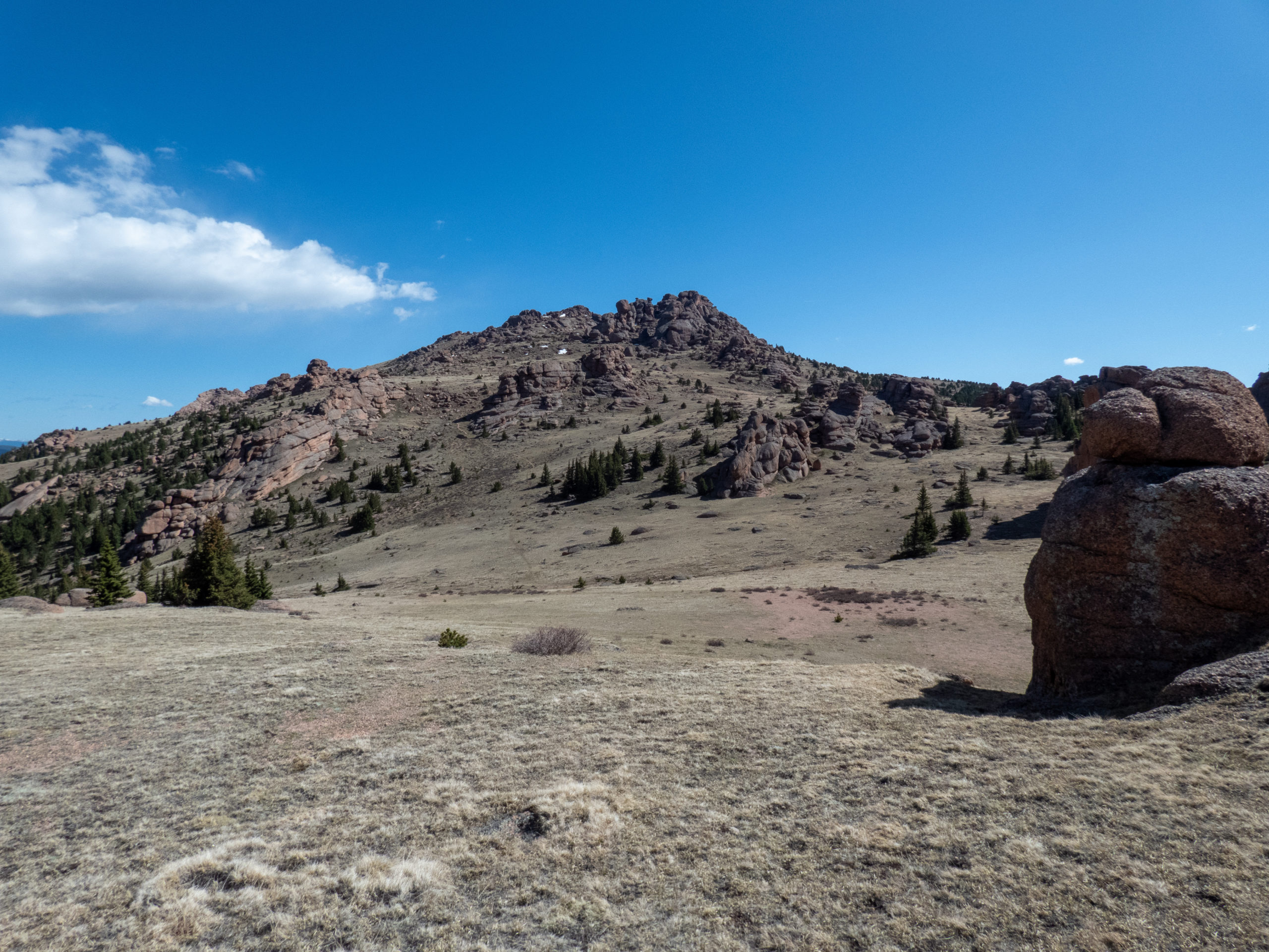
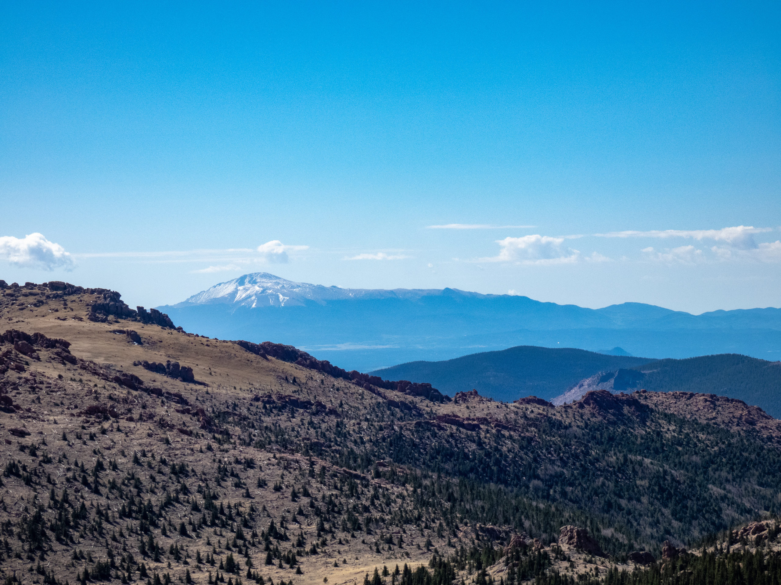
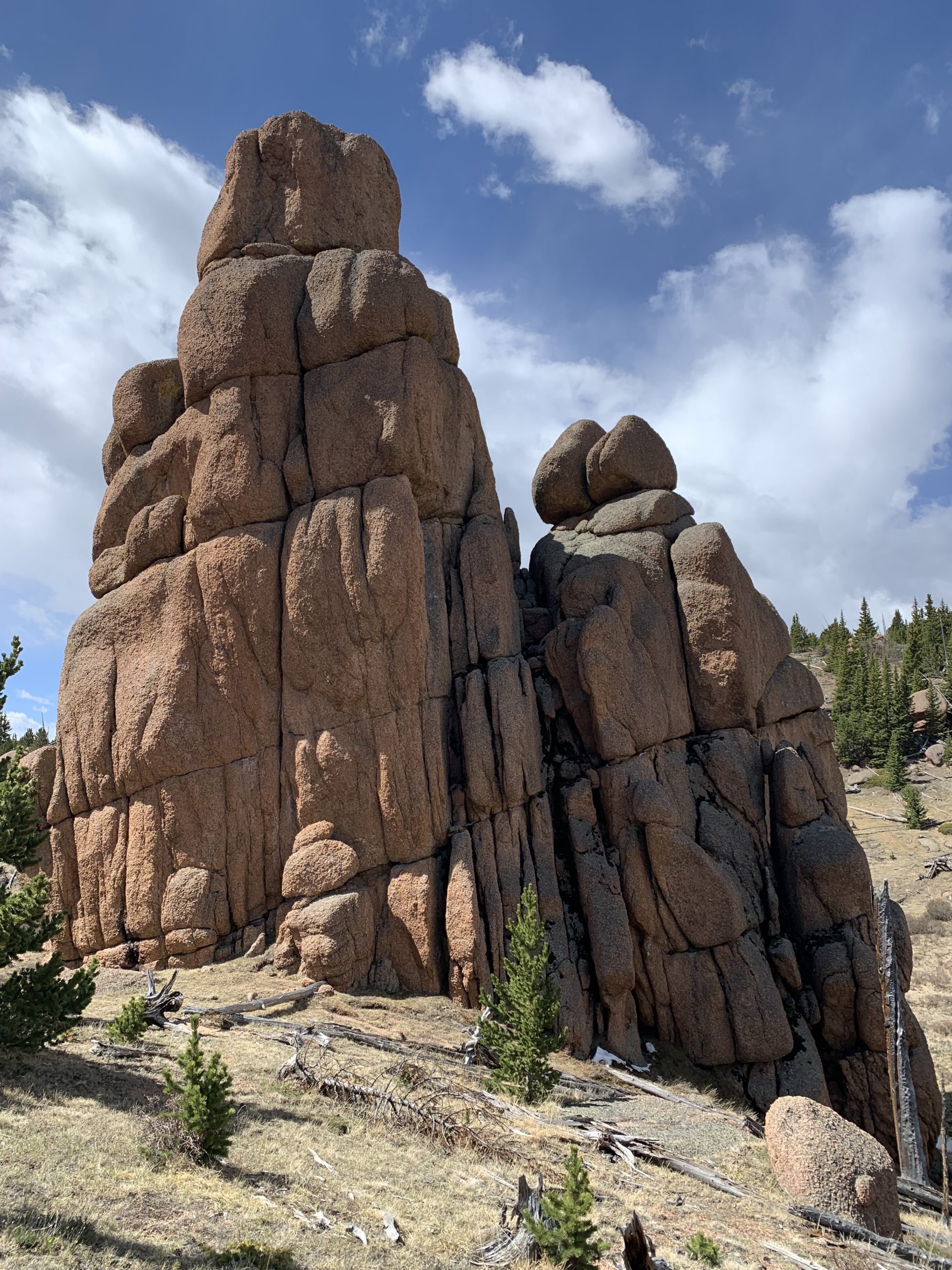
It was a steady climb up to the pass near Bison Peak. I roamed around and climbed up on some boulders near Bison Peak, but skipped scrambling up to the summit. There were some great views of the Tenmile Range from this vantage point. It was nice up at this altitude, sunny and cool. After fulfilling my roaming and snapping pics, I headed back to the trial and continued on my way.


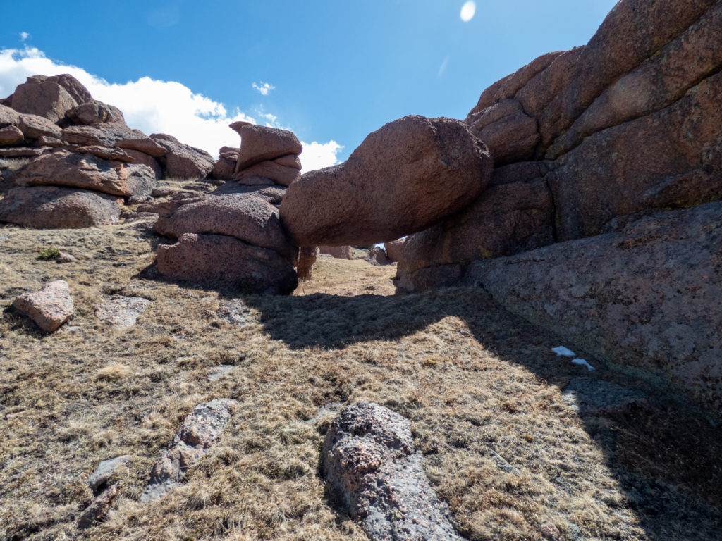

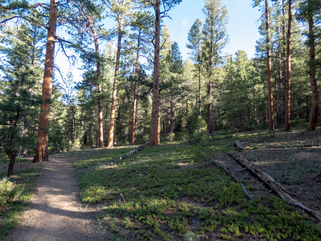
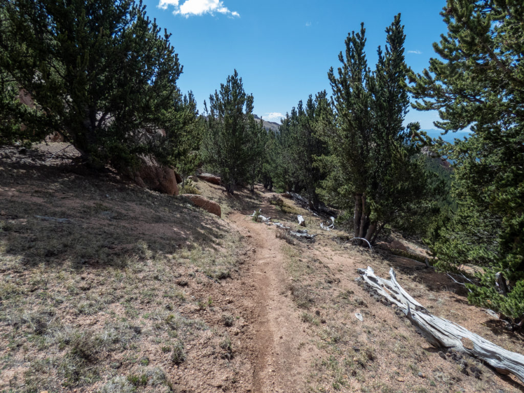
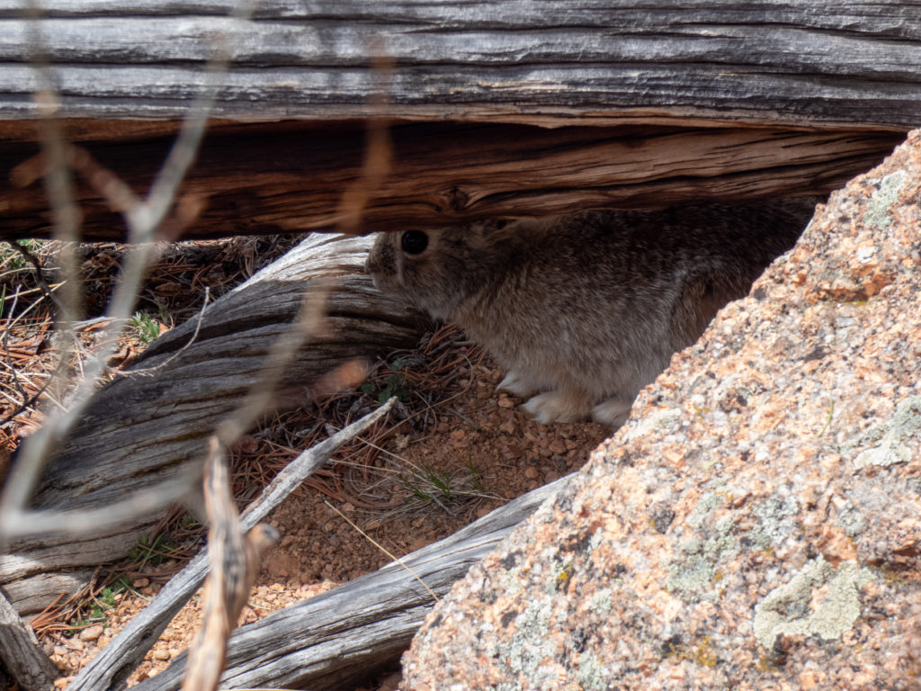
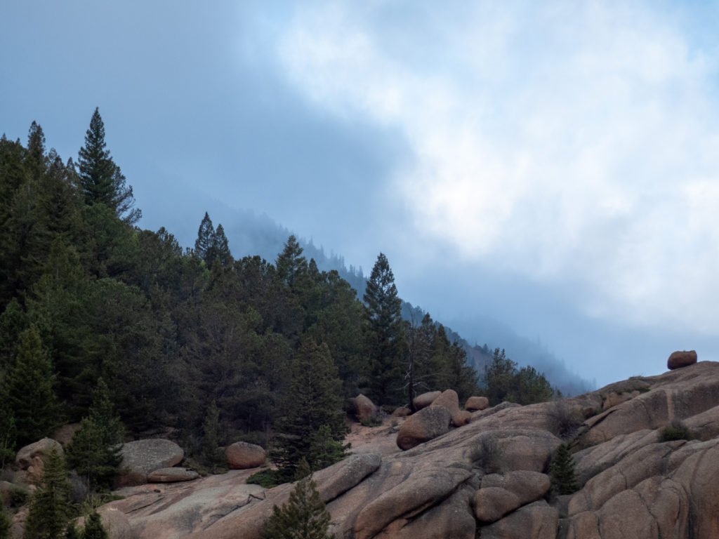
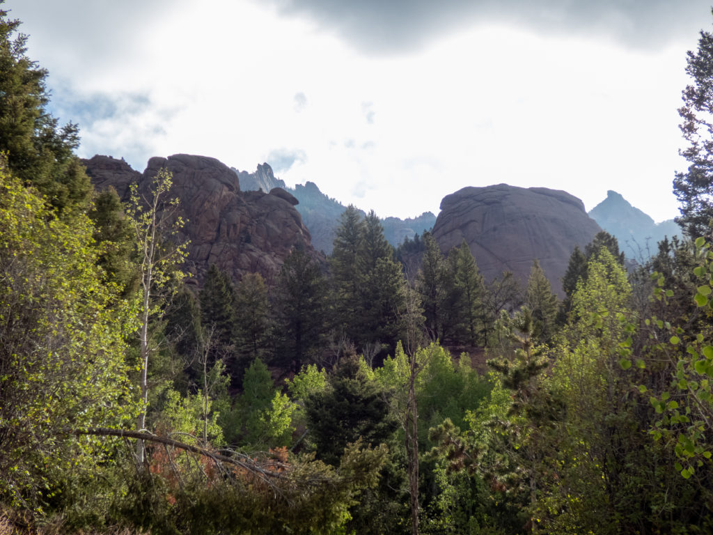
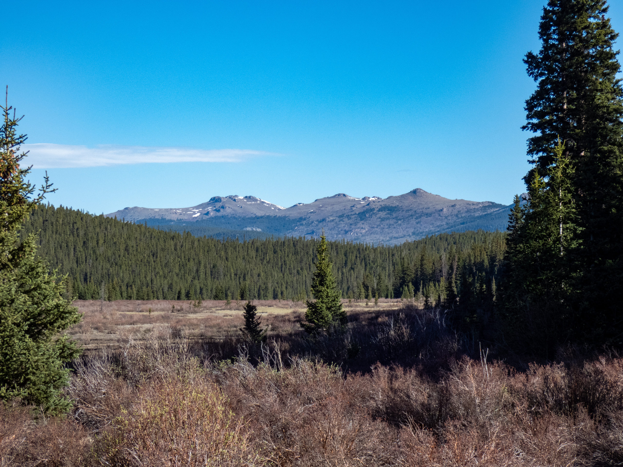
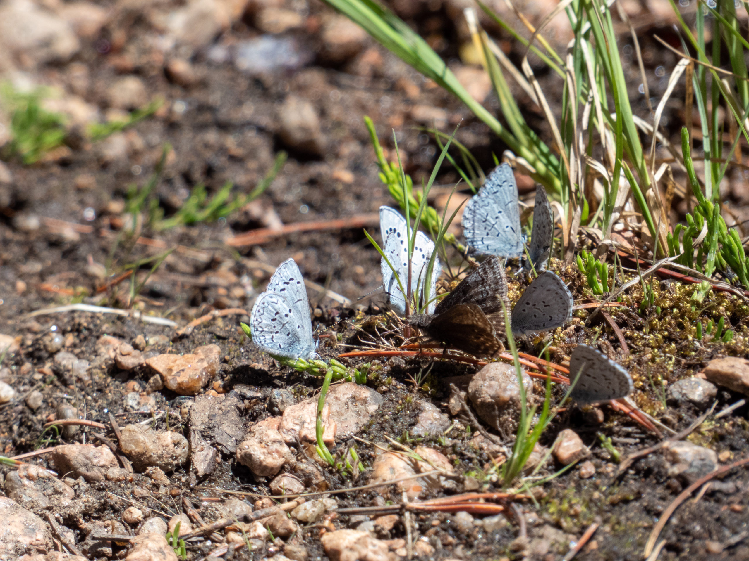
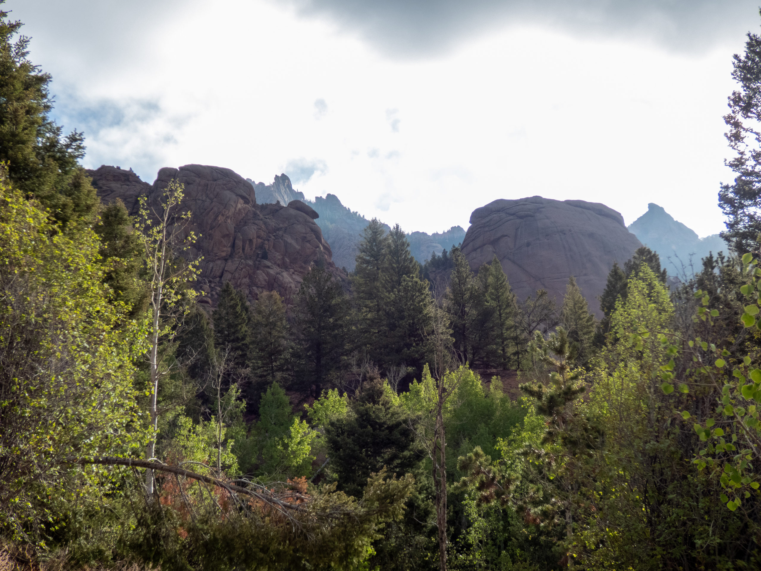
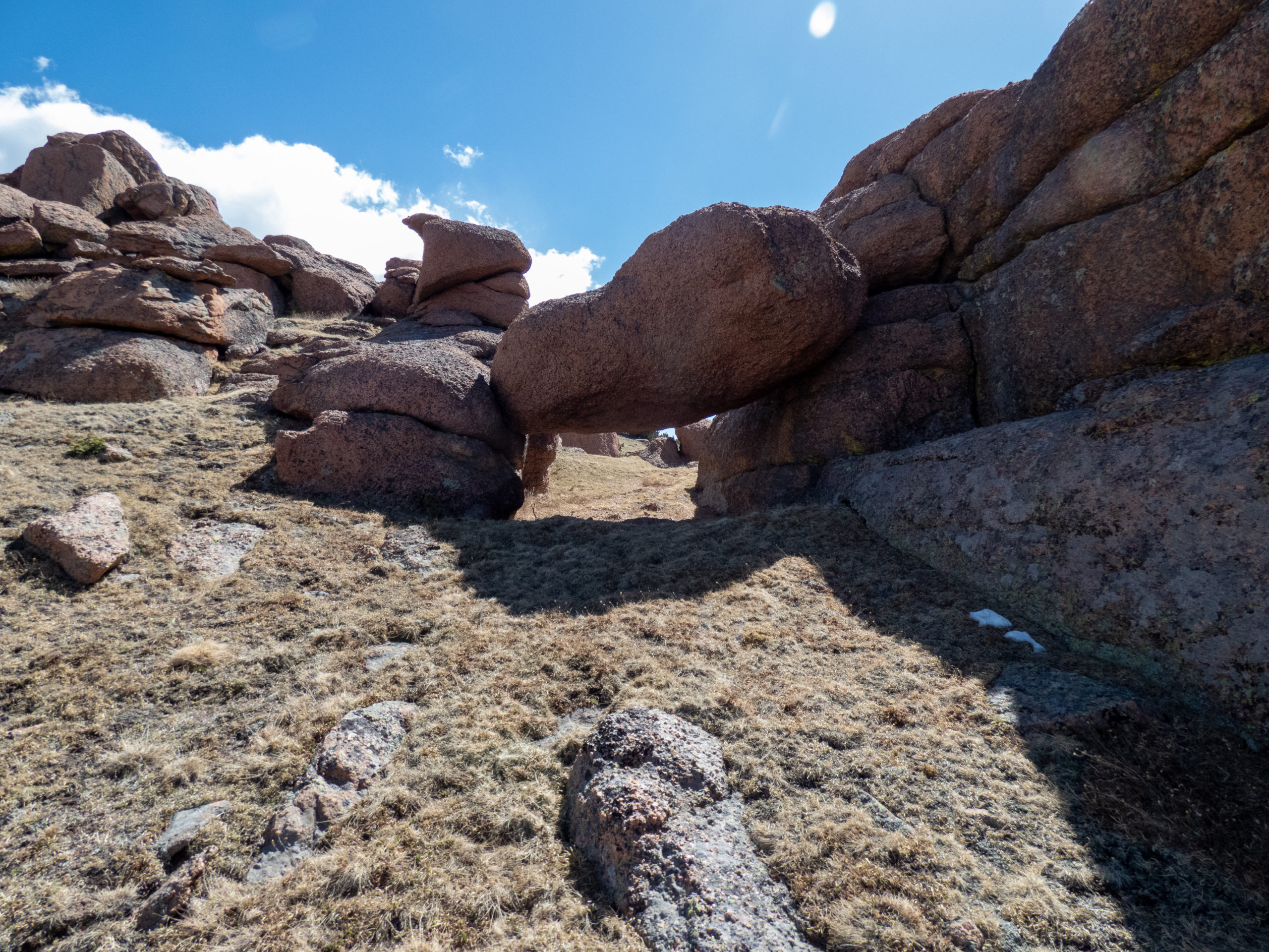
Coming down the the trial past McCurdy Mountain, I looked back and saw there were rain storms coming through. No thunder boomers, just rain. About 15 minutes after that, I was hit with a short, not to intense snow/sleet storm. It was pretty cool. I also saw a rabbit hiding under a log, a bit unusual at this altitude. The trail went through a variety of different terrains from typical forest, old burn scars (not the Hayman Fire), and open rocky areas. Very pleasant hiking!
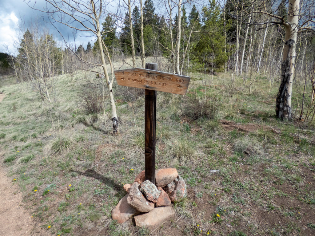
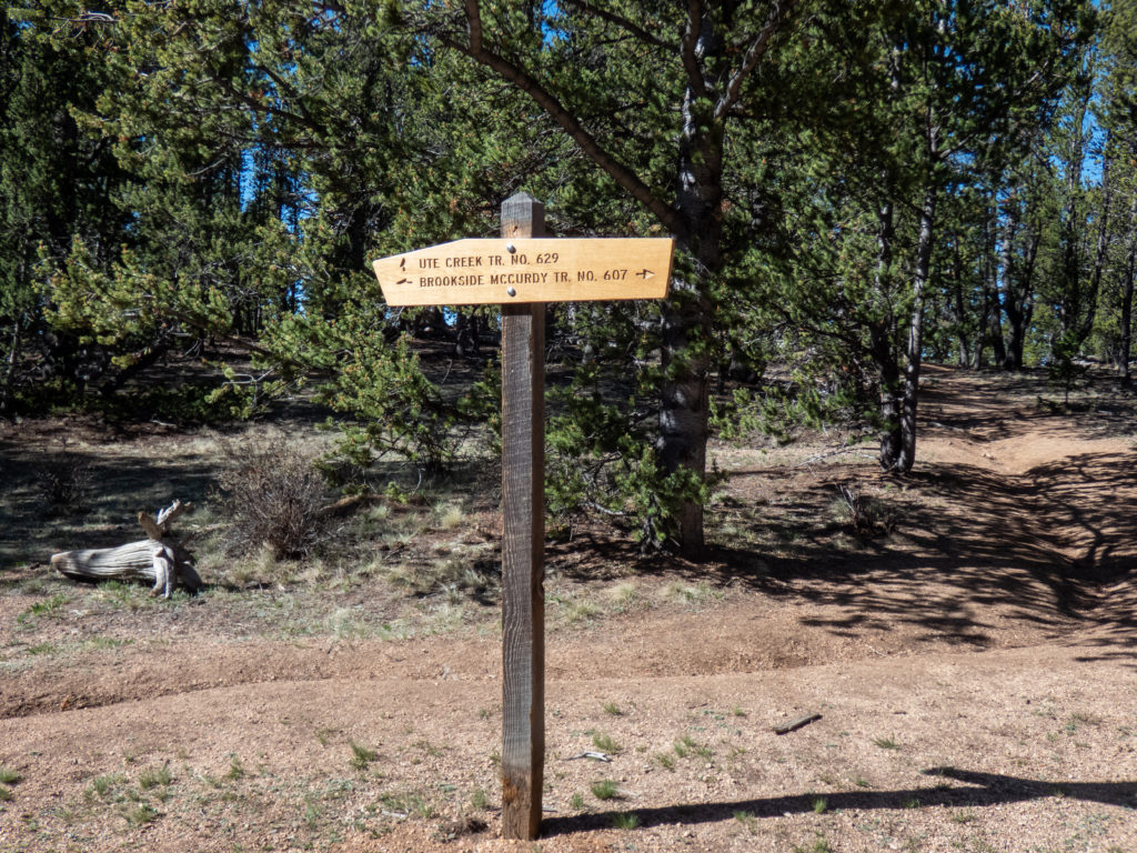
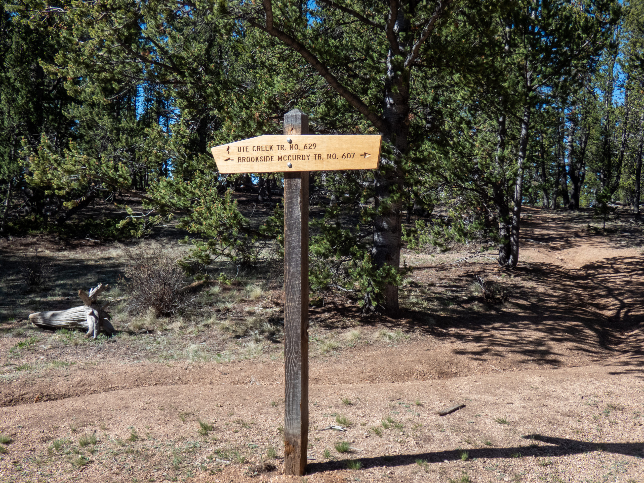
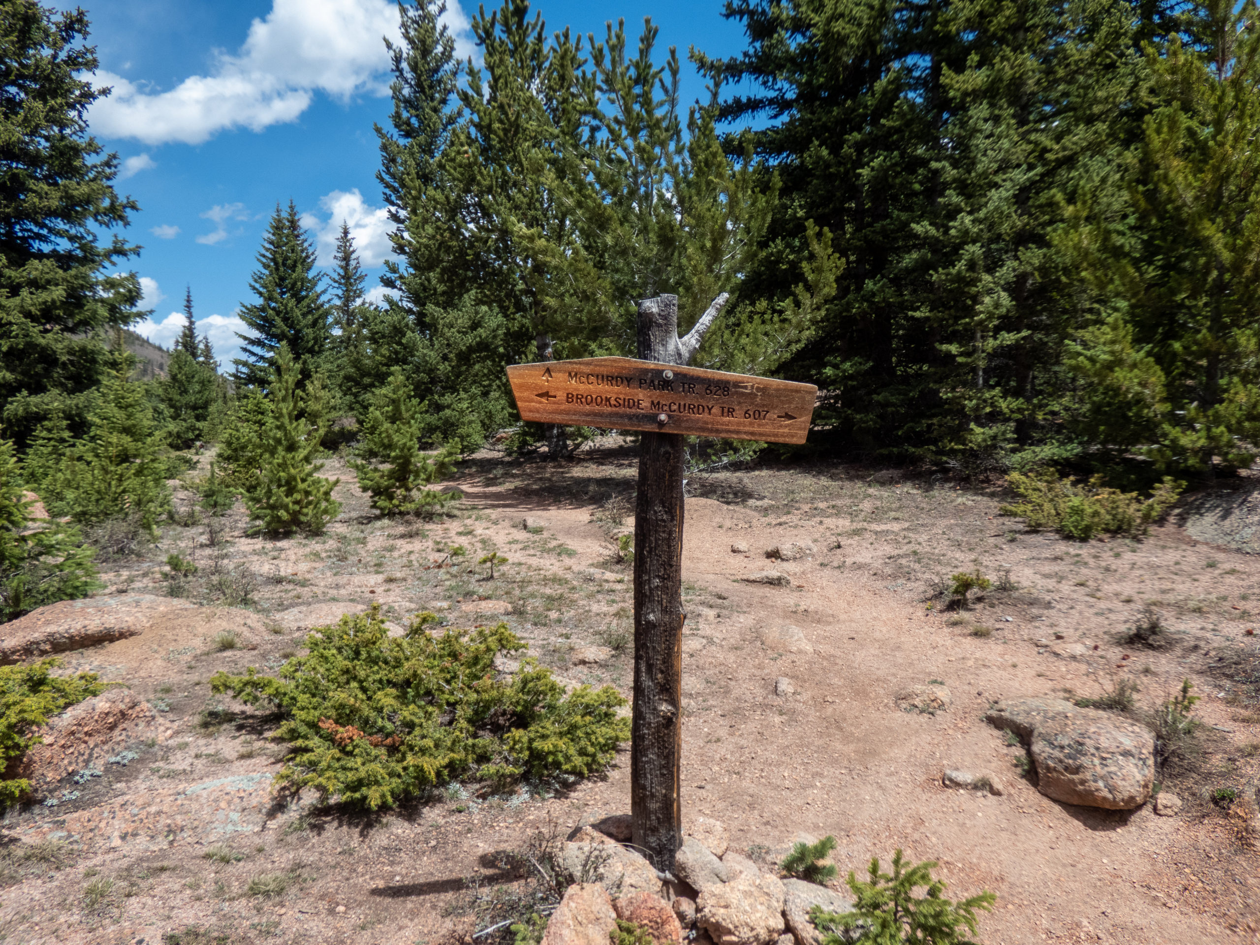
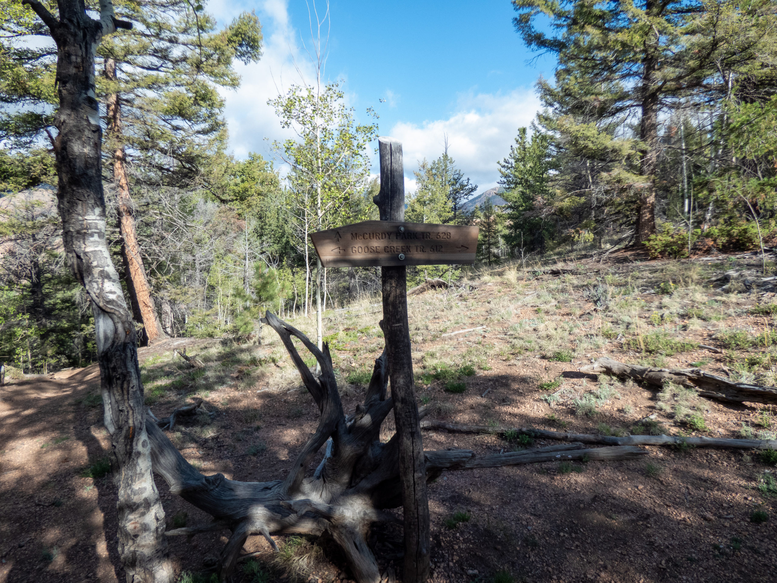
Four miles or so later, I headed left to take the Brookside McCurdy trail north. Just after this I met the first people of the day. A couple was talking with a gentleman, so I passed and continued along. They were finishing up their conversation and the guy was headed my way. We decided to hike together for a while.
Steve was from Texas and has been backpacking quite a bit the past 10 years. He’s a retired at 63 and was doing a few trails he hadn’t finished on previous trips. His earlier hike in Lost Creek had ended when some ornery critters had chewed up his boots during his hike. He’d taped them up and headed back to the trailhead. Doesn’t sound like much fun! Overall, it was great chatting with Steve and he was great company until we parted ways. He was going to take the unmaintained trail up to Wigwam and I continued east on the main trail. Thanks for the conversation Steve!
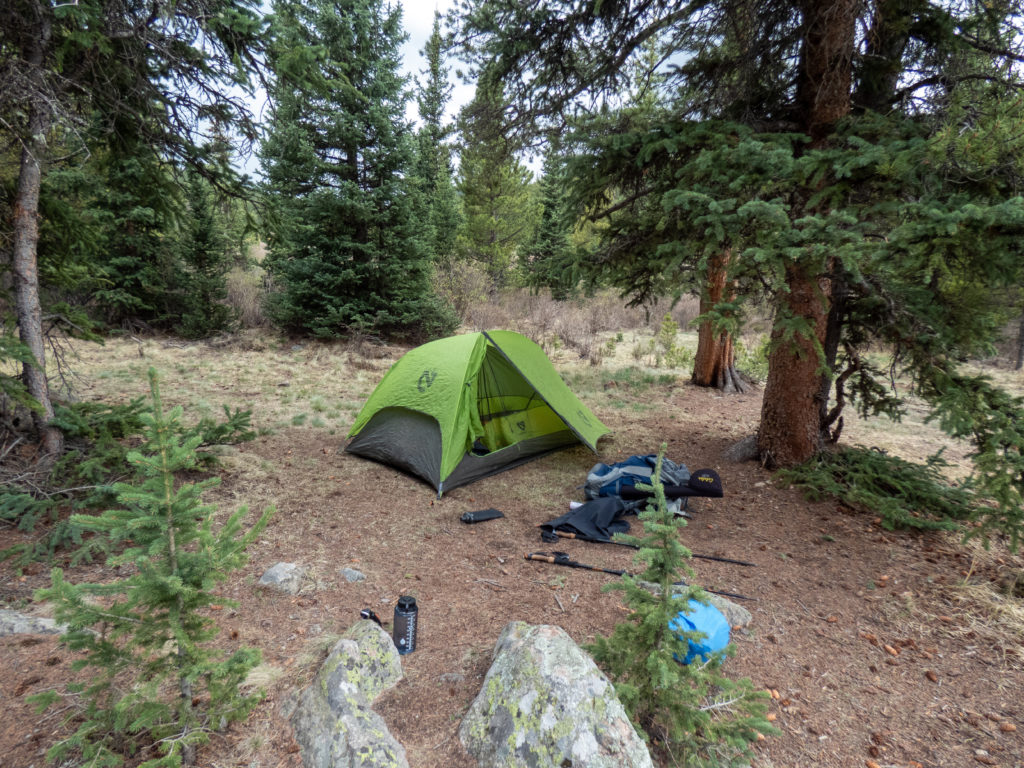
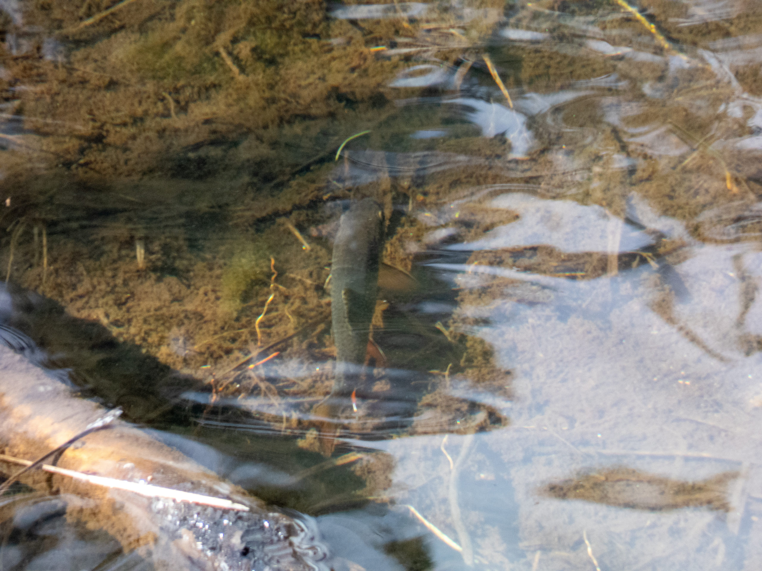
I ended up camping at the same spot I’d been on my last trip. It was under a tree by the river, one of my favorite camp sites. While filtering water, I noticed a few brookies in the river. This time I was luckier at fishing and caught several small brook trout. Life was pretty good.


Backpacking Lost Creek Wilderness – Day 3
The second night was amazing. The temps were much warmer and the bubbling creek kept me sound asleep other than a 2:30am call of nature. Around 5:20, the birds woke me up and I didn’t mind at all! I lounged in the tent until about 6:00, took my time with breakfast and cleaning up camp, and was on the trail by 7:20.
The air felt humid and there were a lot of low-lying clouds which made for some great pictures. I’m not sure how to convey how great it was. Even the times I was climbing felt good and my mood couldn’t have been better. For me, these solitary moments hiking and allowing my mind to wander under perfect conditions really do a lot to help my mental health.
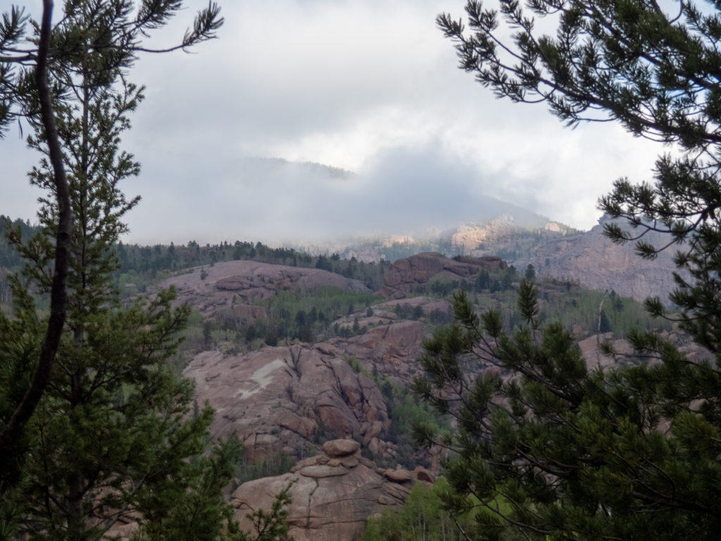
The trail has a bit of a climb as you head towards Goose Creek, although nothing too bad and definitely not too long of a climb. I headed north back towards Wigwam Creek and continued up to about 10,000 feet. Once past this point, the trail stays pretty level and wanders through the forest with occasional meadows. Here I met 3 men I’d seen two days before on Wigwam Trail. We chatted a bit and continued on our way. They were in good spirits too…it seemed to be going around.
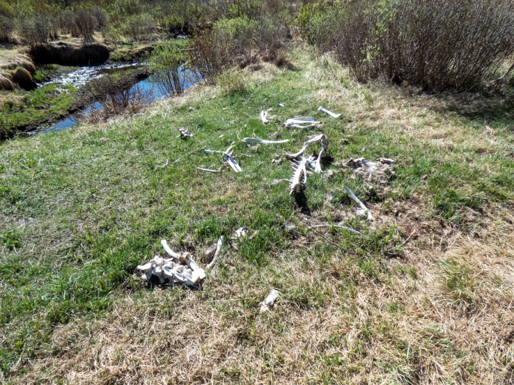
The trail cuts through a short, swampy area as it approaches Wigwam Trail. Here I saw the remains of a moose. The bones were huge. It made me wonder how it had died.
I headed east and made my way back to the trailhead. Along the way I passed through the gorgeous ponderosa pine area and had a chance to sniff some trees. I love the butterscotch smell of these trees. No one was looking so it was cool. I made it to the trailhead around 11:15 so it’d been a quick 9 miles or so.


Conclusion
The backpacking trip turned out to be a great time. While I still have a ways to go on conditioning, I didn’t feel like it was as bad as I thought it would be. Most importantly, the days out in the forest reenergized me and reminded me why I get out and do this stuff. A late start to the season, yet it’s started and I’m looking forward to getting out again, maybe Bubble Lake in Eaglesnest or camping with a 14er or two. I do need to look at that backpack weight though.
Backpacking Lost Creek Wilderness Route


Max elevation: 11995 ft
Min elevation: 8120 ft
Total climbing: 8402 ft
Total descent: -8570 ft
Happy you had such a good time. Beautiful pictures along the way made me feel like I was almost there without all the work to get there. Thanks so much
[…] Backpacking Lost Creek Wilderness […]