
For Day 3 of hiking from Vail, we decided on an easier hike to be followed up by a trip to Leadville. Shrine Mountain is a very popular, and easy, hike at the top of Vail pass and fit perfectly with our plans. Getting to the trial for Shrine Mountain is pretty simple, head west at the Shrine Pass road. It won’t be long until you’re at the trailhead.
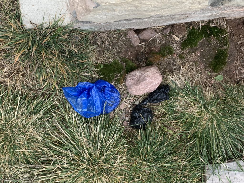
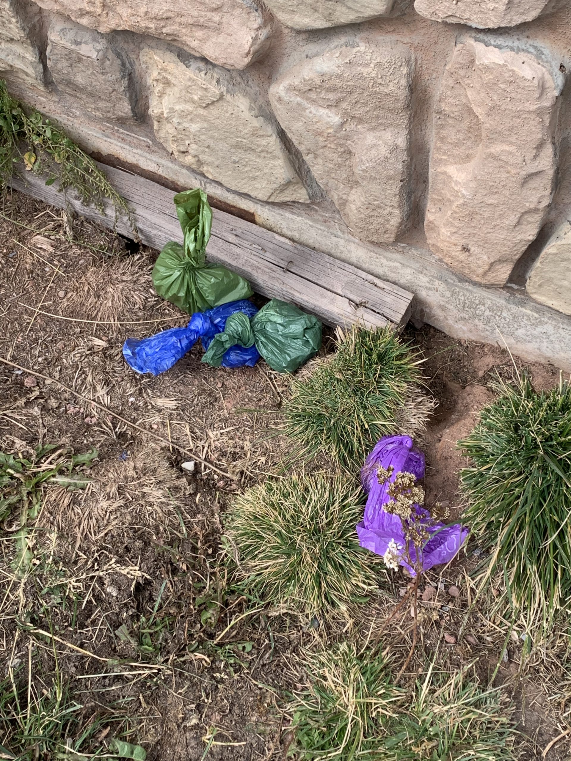
I’m taking a short break here to rant on a pet peeve of mine. Shortly after parking, we walked by the restrooms at the trailhead and saw the poop bags people had left behind. For those that aren’t aware, dropping your poop bags at the restroom building IS NOT cleaning up after your pet. Be responsible, take your poop bags with you. Areas of the wilderness are requiring humans to pack out their waste, the least pet owners can do is do the same for their pets. Why do people think it’s someone else’s job to do this for them? OK, end of rant.

Shrine Mountain
The trail up is only about 800′ in elevation gain making it a straightforward hike. There are lots of people that use this trail so it is not hard to follow. Unfortunately there are several social trail branches creating some additional washouts. We did our best to stay on the main trail and made it up fairly quickly.
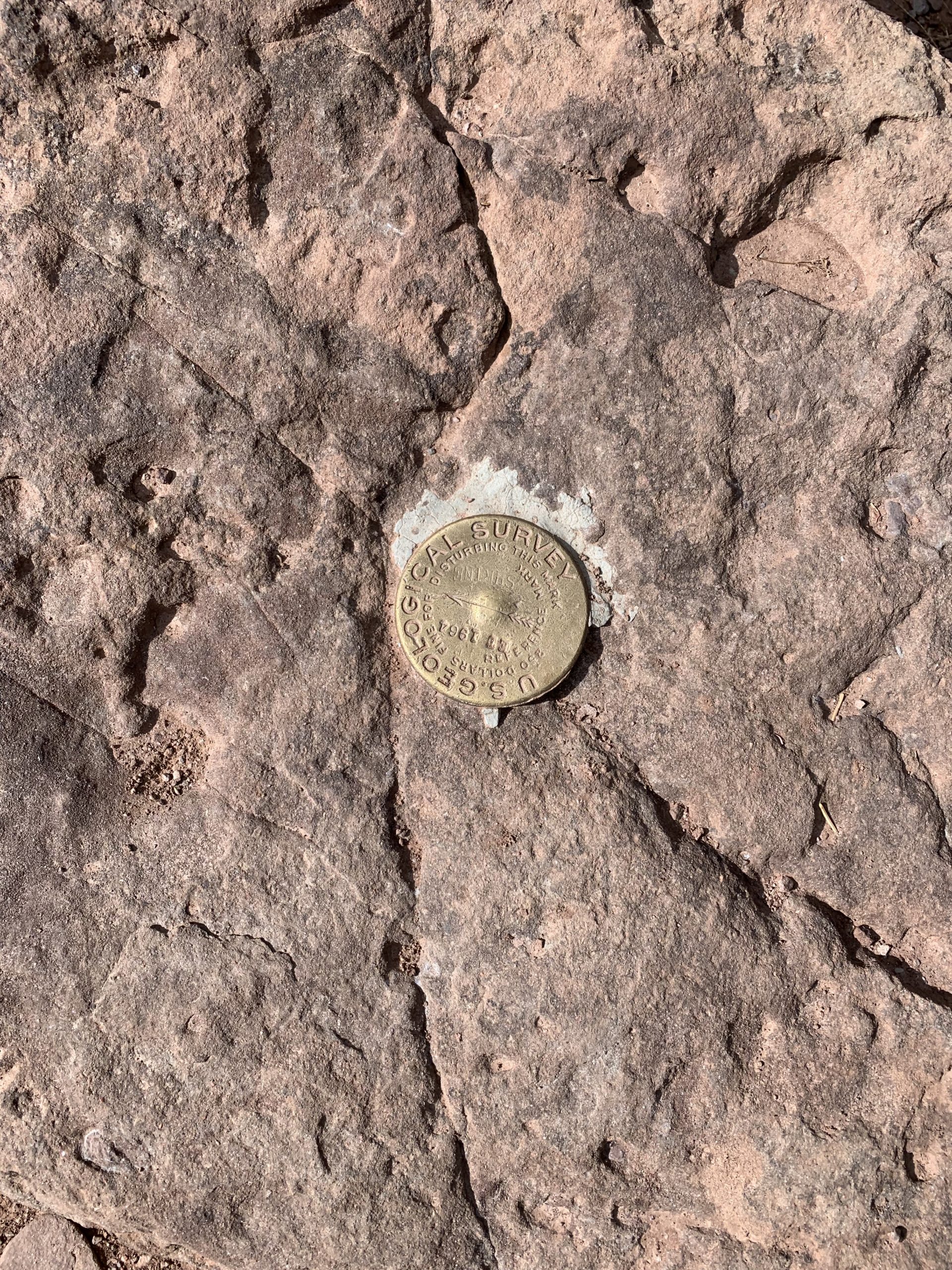
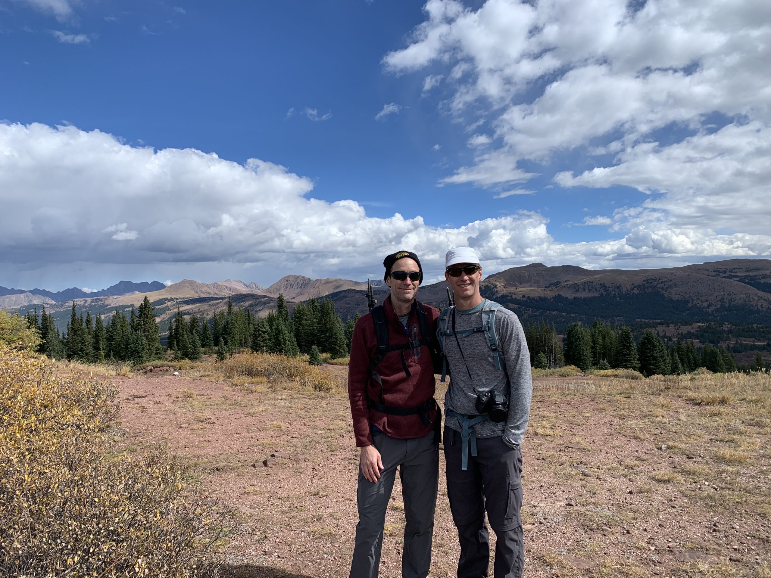
Once you make the ridge, going to the right takes you to Shrine Mountain’s peak. Heading left takes you towards Wingle Ridge. After finding the marker for Shrine Mountain, we headed towards Wingle Ridge but stopped on a nice promontory (Chuck’s word selection, not mine) about half-way over.
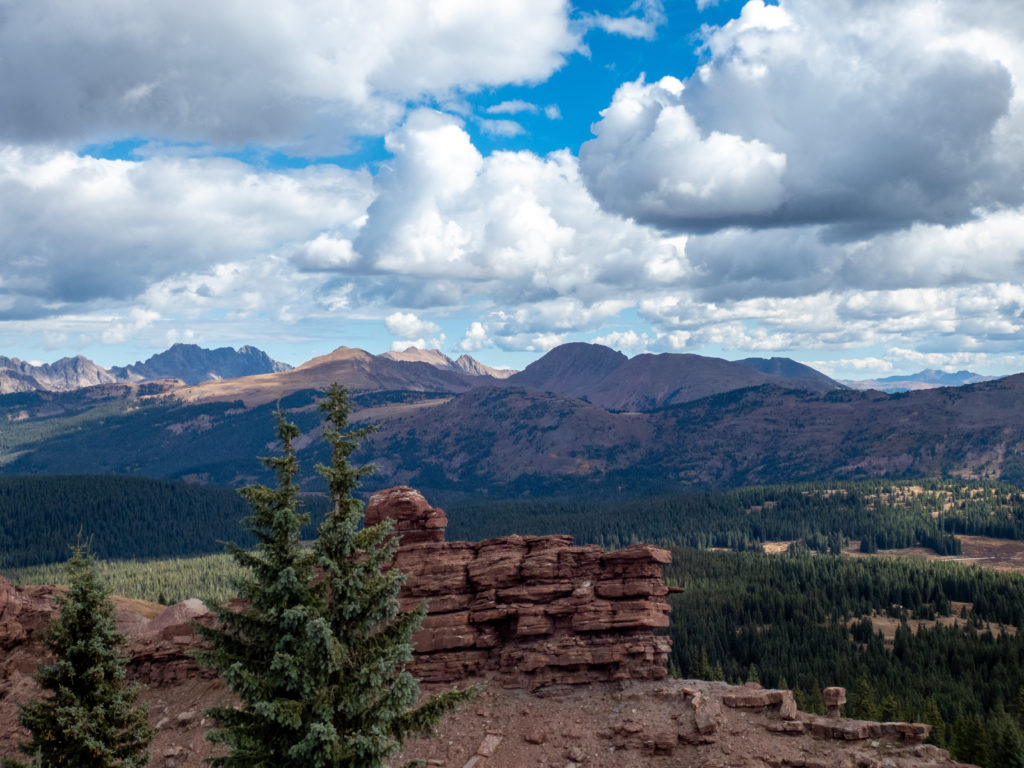
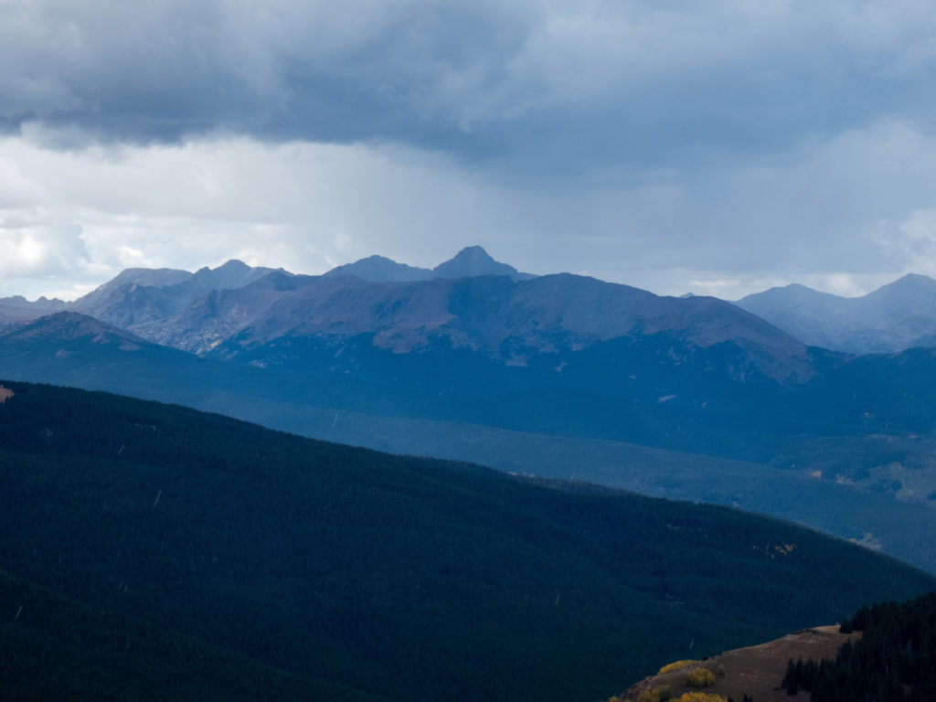
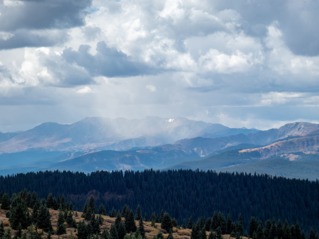
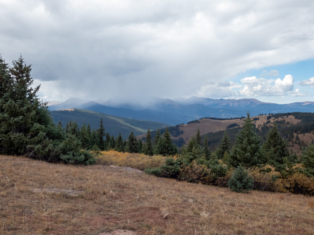
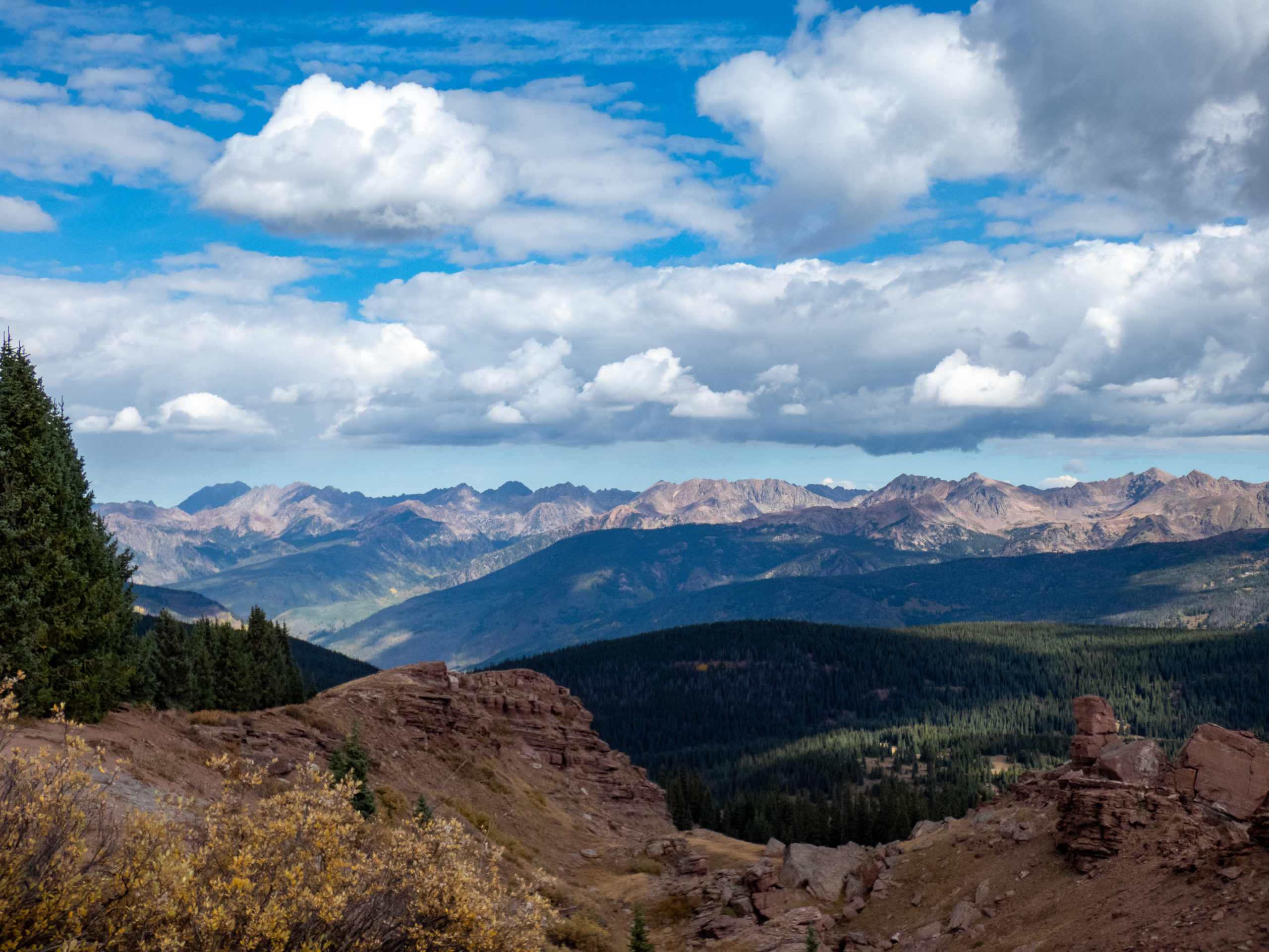
The views offered by this short hike are really great. You can see several of the peaks in the Gore Range, 14ers in the Tenmile Range, and Mount of the Holy Cross. A wide range of peaks for such a quick hike!
We took a lot of pictures and watched the snow showers move in over the peaks. It was especially fun to watch Mount of the Holy Cross disappear as snow took over the peak. Overall, a hike offering great rewards for limited effort.
Oh, and in case you were wondering, we had a great time in Leadville.


Shrine Mountain GPX Track


Max elevation: 11939 ft
Min elevation: 10978 ft
Total climbing: 1578 ft
Total descent: -1667 ft