
My friend Ellen and I have been talking about getting together to hike for over a year. We were finally able to make it a reality this week when we hiked Bandit Peak. We were joined by her husband Aaron and another friend, Jerry. Jerry is a 76-year old Vietnam vet who did an amazing job on his first hike of the season. I have a new role model!!
Bandit Peak “Trailhead” and the route
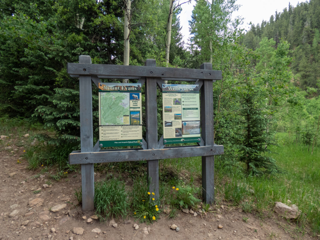
The quoted trailhead isn’t to imply that there isn’t a real trailhead…there is. There isn’t a real trail to Bandit Peak though. Our route started at the Deer Creek Trailhead off 285 near the Deer Creek Campground. Aaron, who Ellen refers to as the APS for the Aaron Positioning System, mapped out a route for us to get to Bandit Peak. It was a 6 mile hike as the crow flies, which means more with switchbacks. And a nice, healthy 3000′ elevation gain too.
We left the Denver area about 7:00AM and it was a relatively easy drive out to the trailhead, especially since I was just a passenger. We were on the trail by 8:10AM.
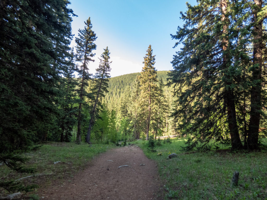
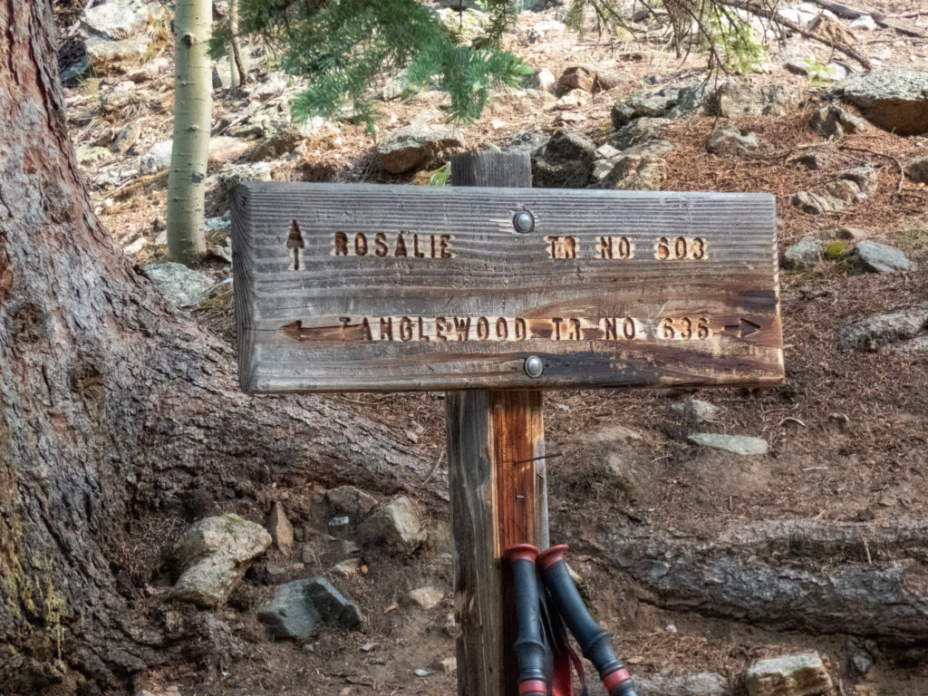
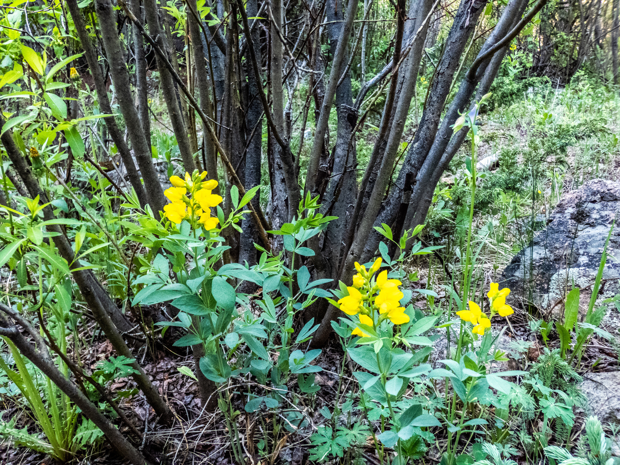
Our initial route took us along the Tanglewood Trail which we left shortly after it separates from the Rosalie Trail. I remembered to capture a shot of the sign and saw some flowers along the way.

Leaving the trail
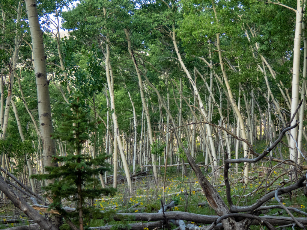
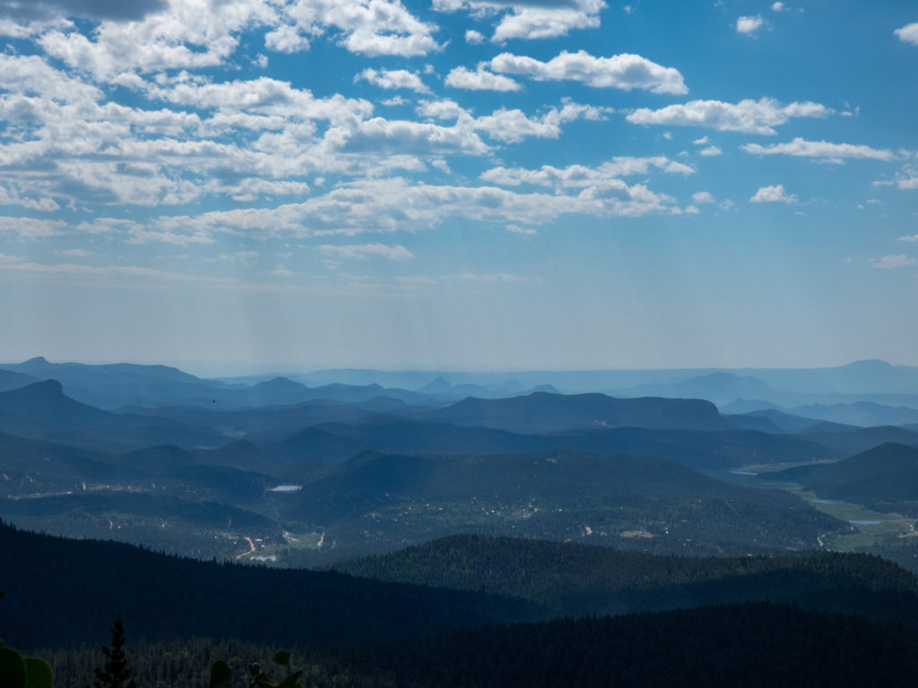
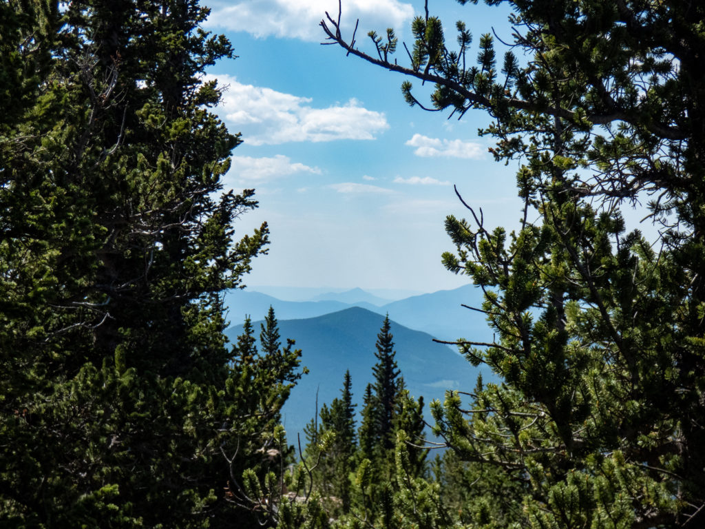
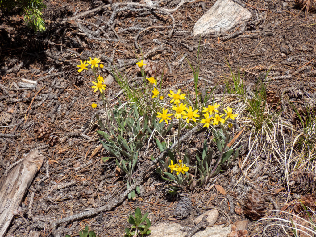
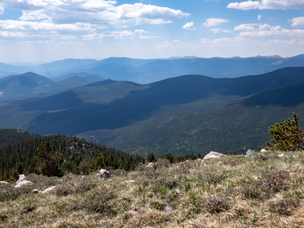
At about 1.25 miles, we left the trail and started bushwhacking up a ridge. The APS had done his research and mapped out not only the best route from a topographical viewpoint, but also to maintain as many open spaces as possible using Google Earth. The ridge was a steep change from the trail. Not surprisingly, it stayed steep. 🙂 We initially went through Aspen groves which are always beautiful. At just shy of two miles, we crossed a small “bump”. There were some rock outcroppings so I scrambled up and took a few shots. To be fair, these shots were much more hazy due to smoke before I cleaned them up in post-processing. As always, some flowers had caught my attention on the hike up.
Easier going
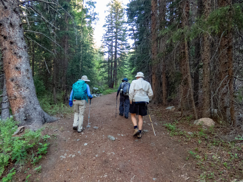
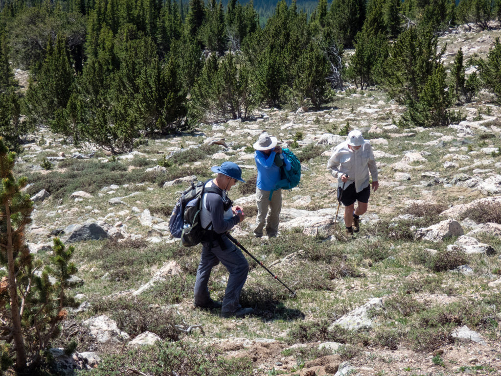
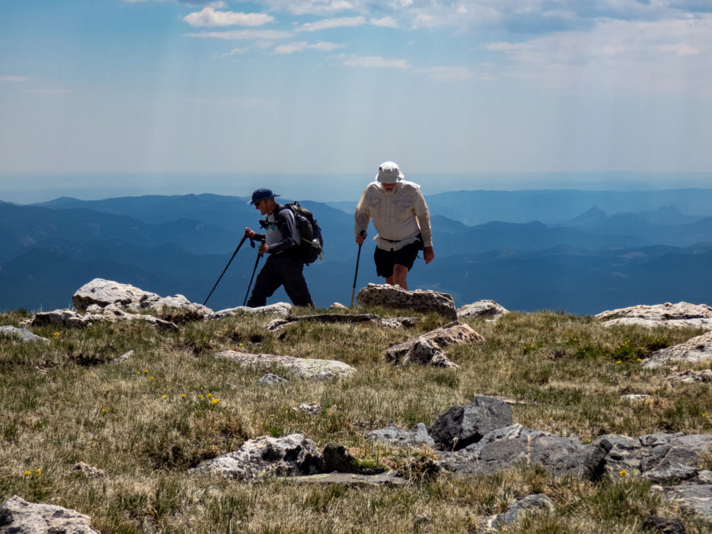
The incline didn’t let up after the “bump” but the going to Bandit Peak was a little easier since we were in pine forest. There was less downfall making for smoother going. The hiking became easier in terms of navigation once we cleared the tree line. The bad thing was the wind picked up substantially. Here is a picture of the gang headed up the final push to the summit.
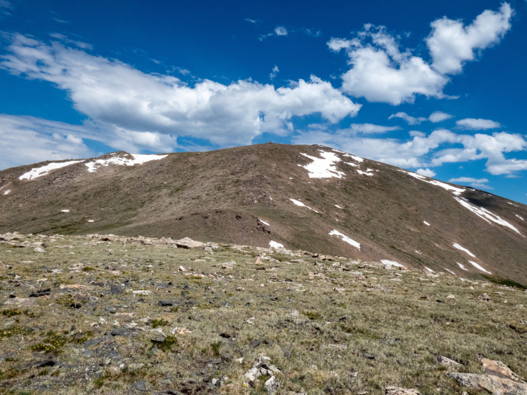
Bandit Peak Summit
We finally made it up to the summit and, as Aaron had predicted, the winds were howling. He estimated sustained winds of 50mph. I estimated them at “really blowing hard”. Aaron is bit more specific with these things. As we enjoyed lunch in the winds, I looked over at Jerry. He didn’t seem phased by the hike at all.
We spent plenty of time eating and chatting in the wind. Yes, it might have made more sense to go down off the ridge out of the wind to enjoy a little peace…but that’s not what happened. Nobody said hikers are geniuses!
The return route
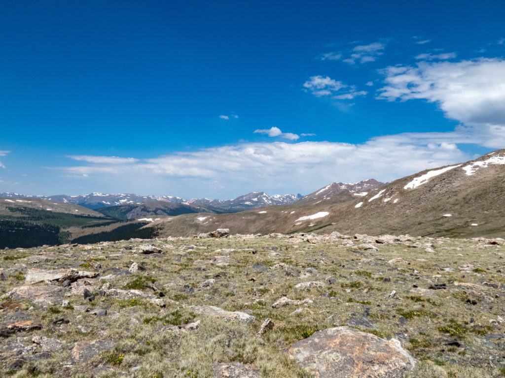
There seemed to be a consensus with the hike leaders (everyone but me, I was just along for the ride) that we should go down a different route to avoid the steep and more difficult way we came up. We headed north off the peak and into the valley of willows. Aaron cautioned us all to stay high and avoid the willows. Good advice, those willows are thick in that valley.
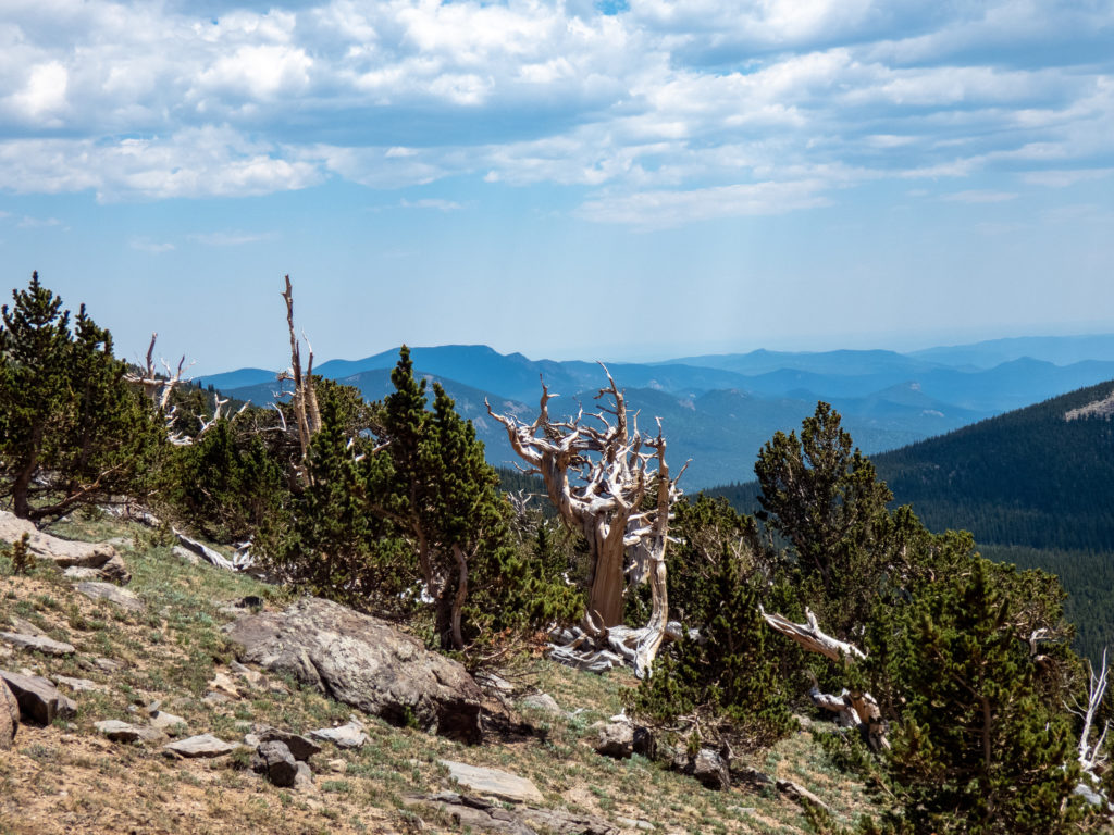
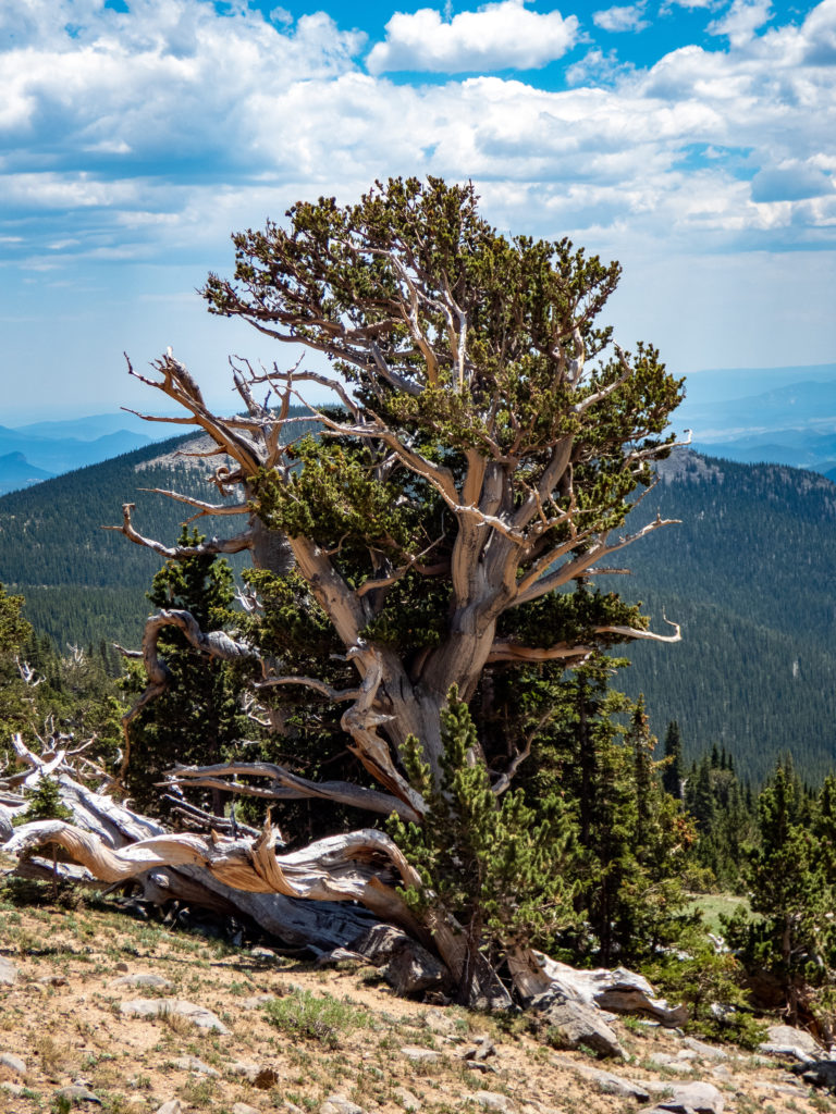
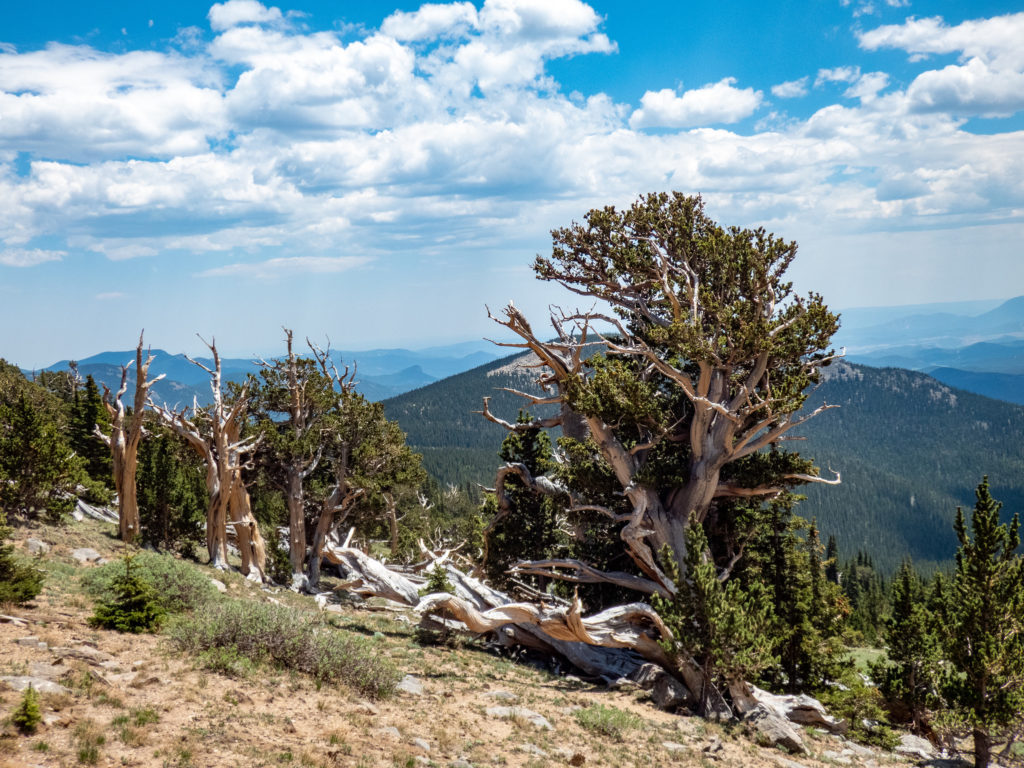
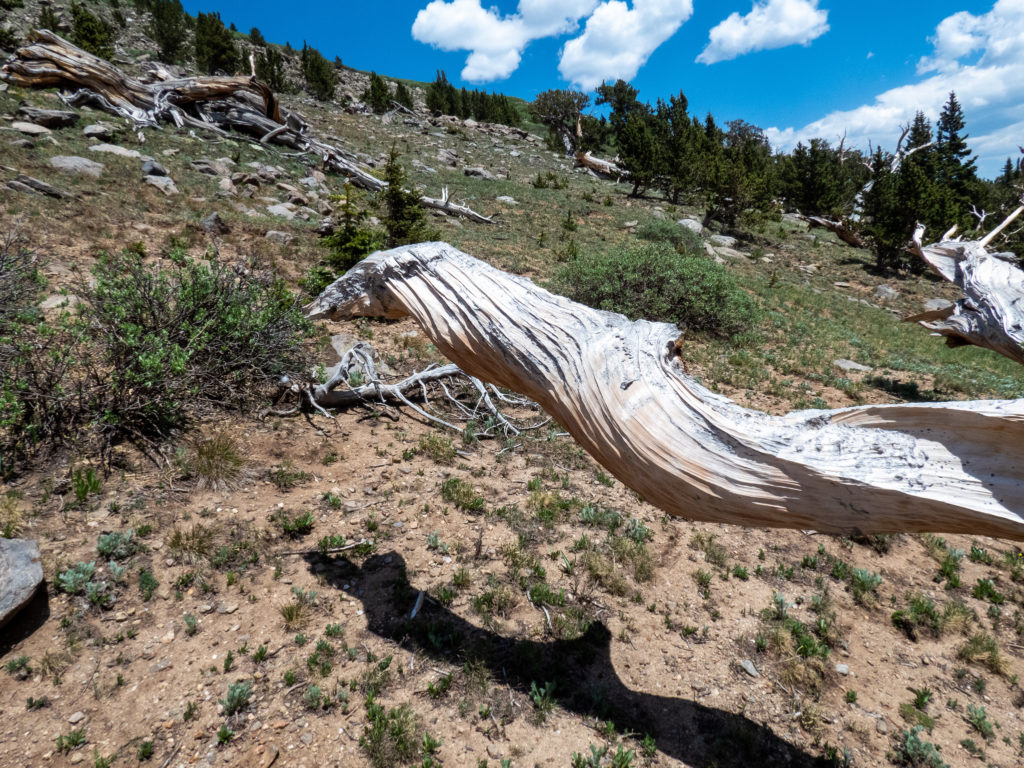
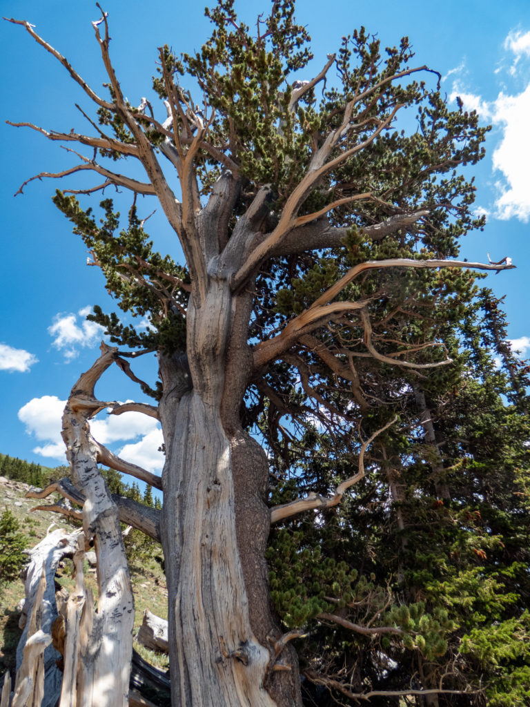
As we looped around and hit about 4.5 miles, we came across a bunch of Rocky Mountain Bristlecone pines. These trees are amazing to see and should always be treated with the utmost respect. They’ve been around a lot longer than us and deserve our protection, as one can argue about all the wilderness on earth. They can live for thousands of years and are one of my favorite trees. We really enjoyed walking through this section of forest!!
Eventually we pound our way home
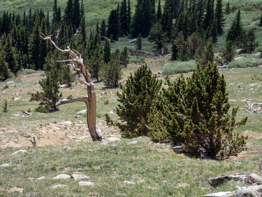
Once we were past the Bristlecone Pines, things returned to the mundane task of plodding back to the car. We transitioned to going through typical pine forest and eventually intersected the Rosalie Peak trail. Even so, we still had about 3 miles of hiking to get back. Luckily we were walking along Tanglewood Creek which provided a nice background for the hike. We did run across a few other people headed up but mostly we had the trail to ourselves.
Once back at the parking lot, I took off the boots and plopped my feet in the creek. The water was ice cold and refreshing…for a few seconds anyway.
Overall, a great day hiking with friends that I hope to repeat many times.
Bandit Peak Route


Max elevation: 12503 ft
Min elevation: 9154 ft
Total climbing: 4068 ft
Total descent: -3865 ft
Great report Rob. I feel like I was there, oh wait a minute I was there. haha.
Haha! It was a great hike!
[…] a bit. Rosalie Peak has been something I’ve been planning since Ellen mentioned it on a hike I did with her, Aaron and Jerry. I figured I might as well “git r done”. The route was […]